Need rescue? Hikers lost or requiring supplies can find help from satellite communication device
Cronkite News (May 10, 2021) by Hunter Hippel
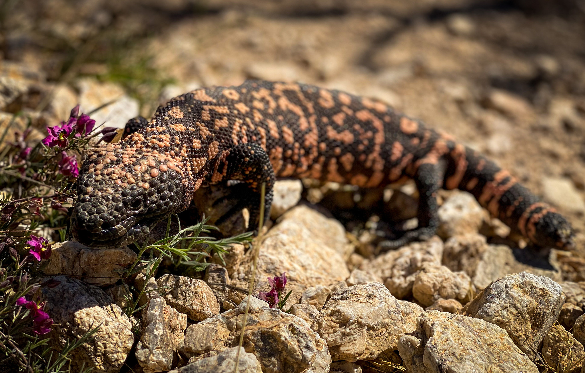
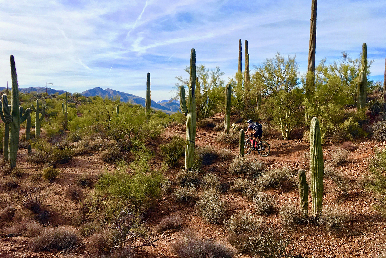
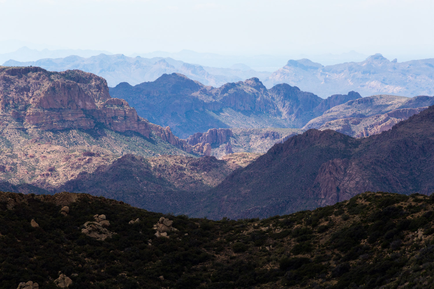
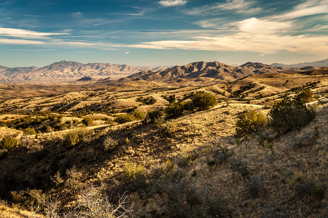
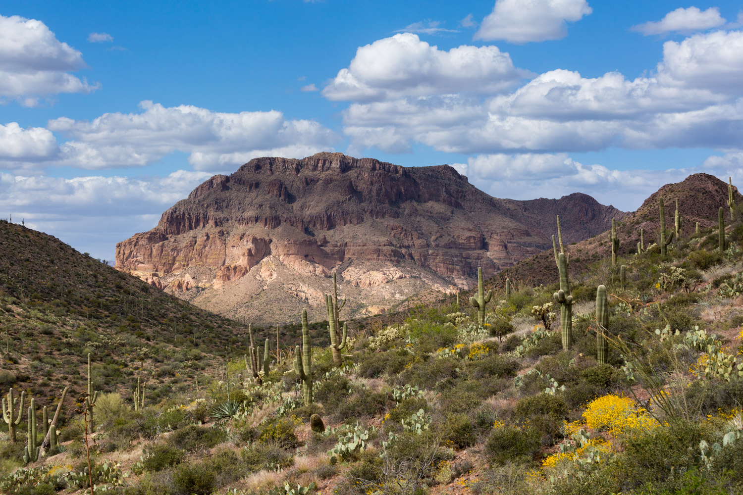
Arizona is not just a desert.
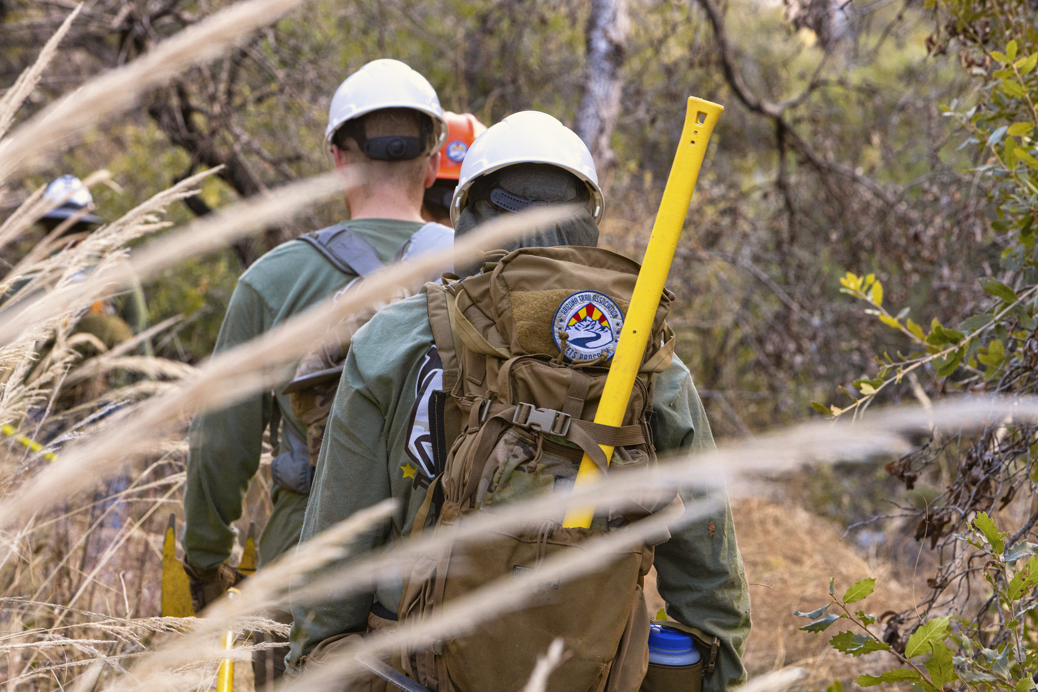
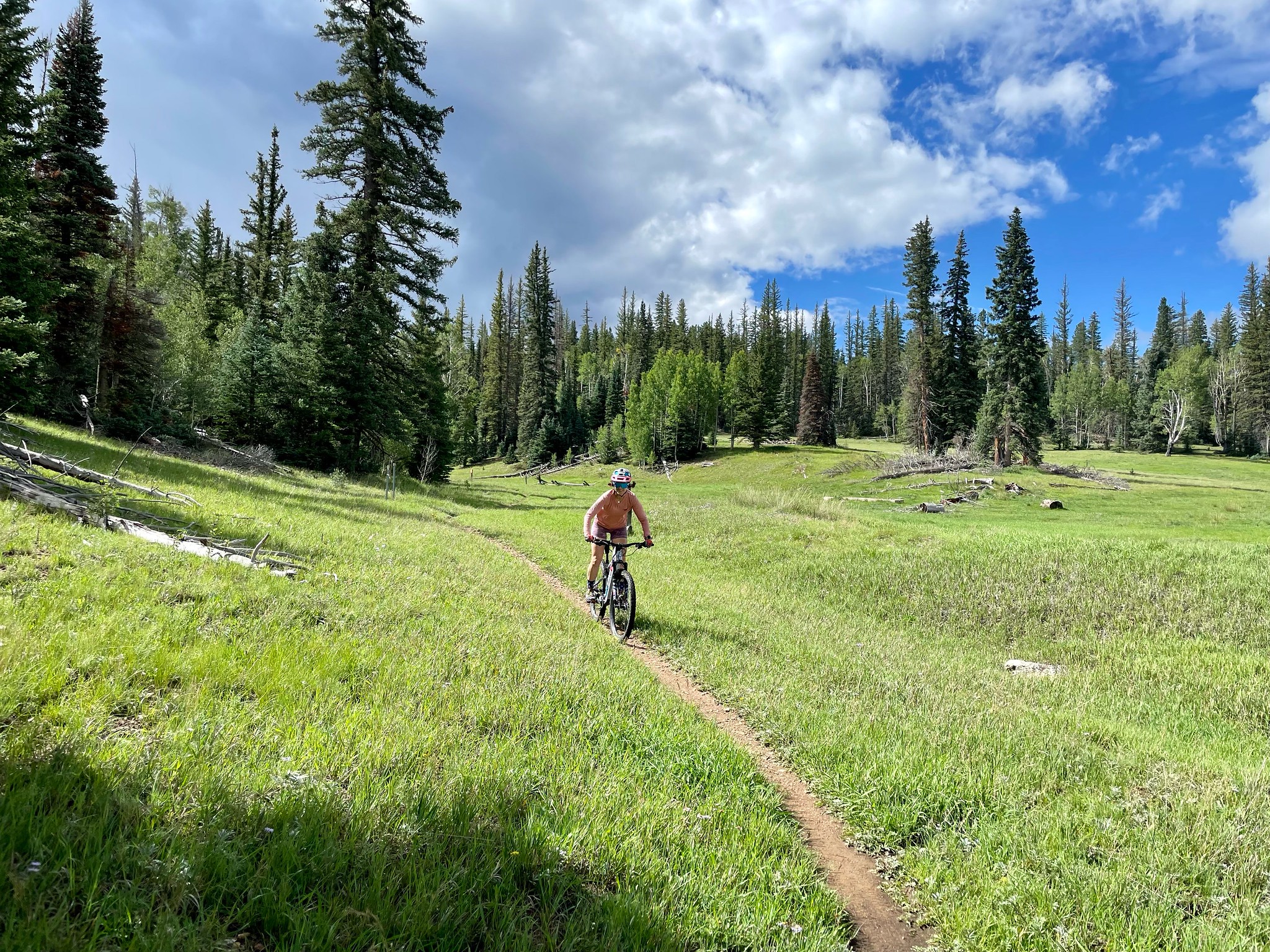
The state boasts six national forests, tied for the ninth-most for any state in the country. Approximately 15 percent of the state’s land is designated as forest, including the largest ponderosa pine forest in North America.
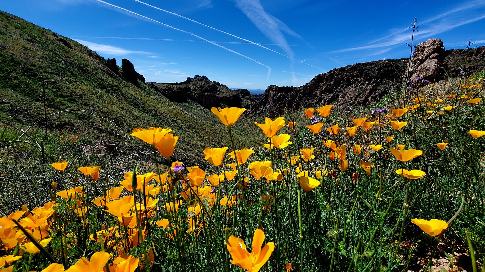
Mountainous grassland and chaparral in the state’s “transition zone” separates the true desert and the woods, creating a paradox in the eyes and mind of visitors.
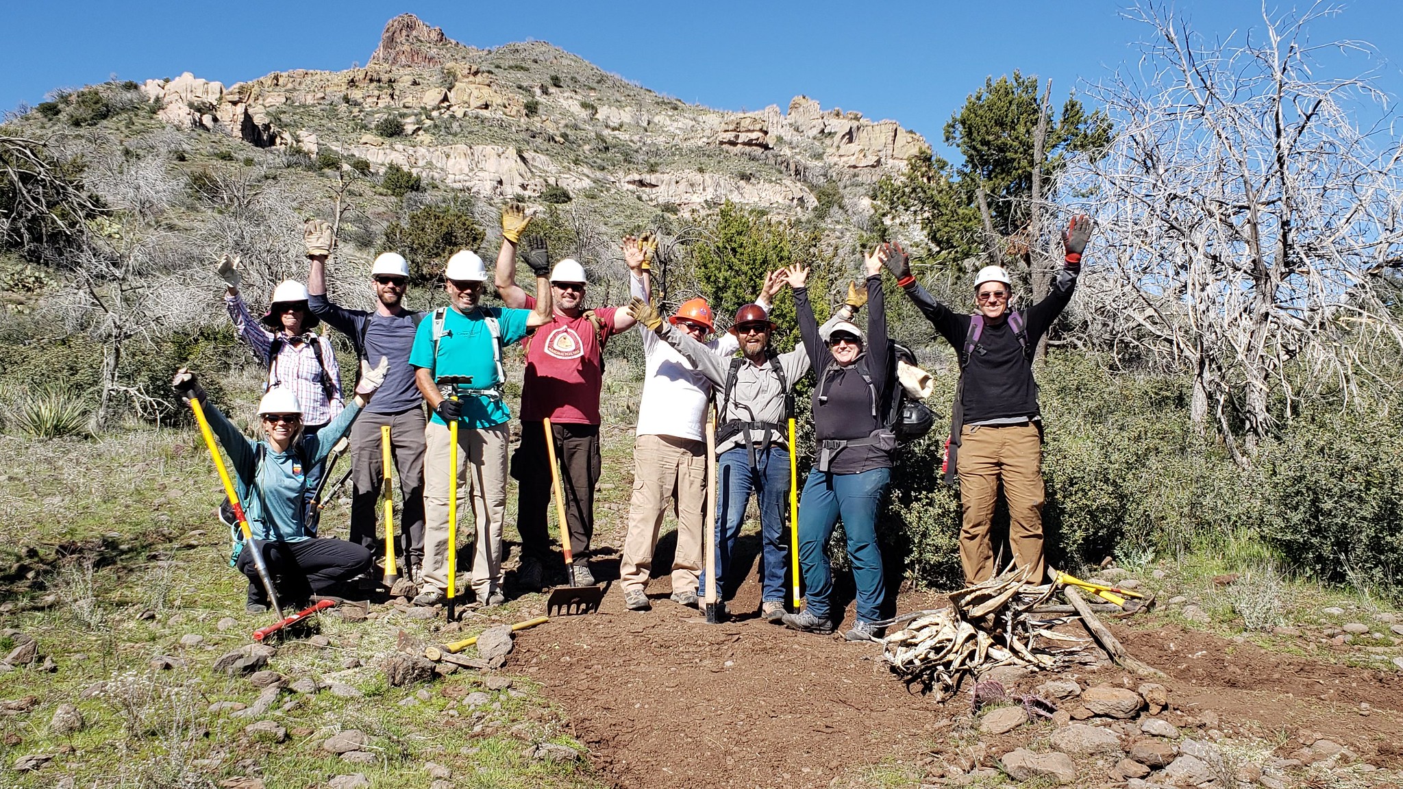
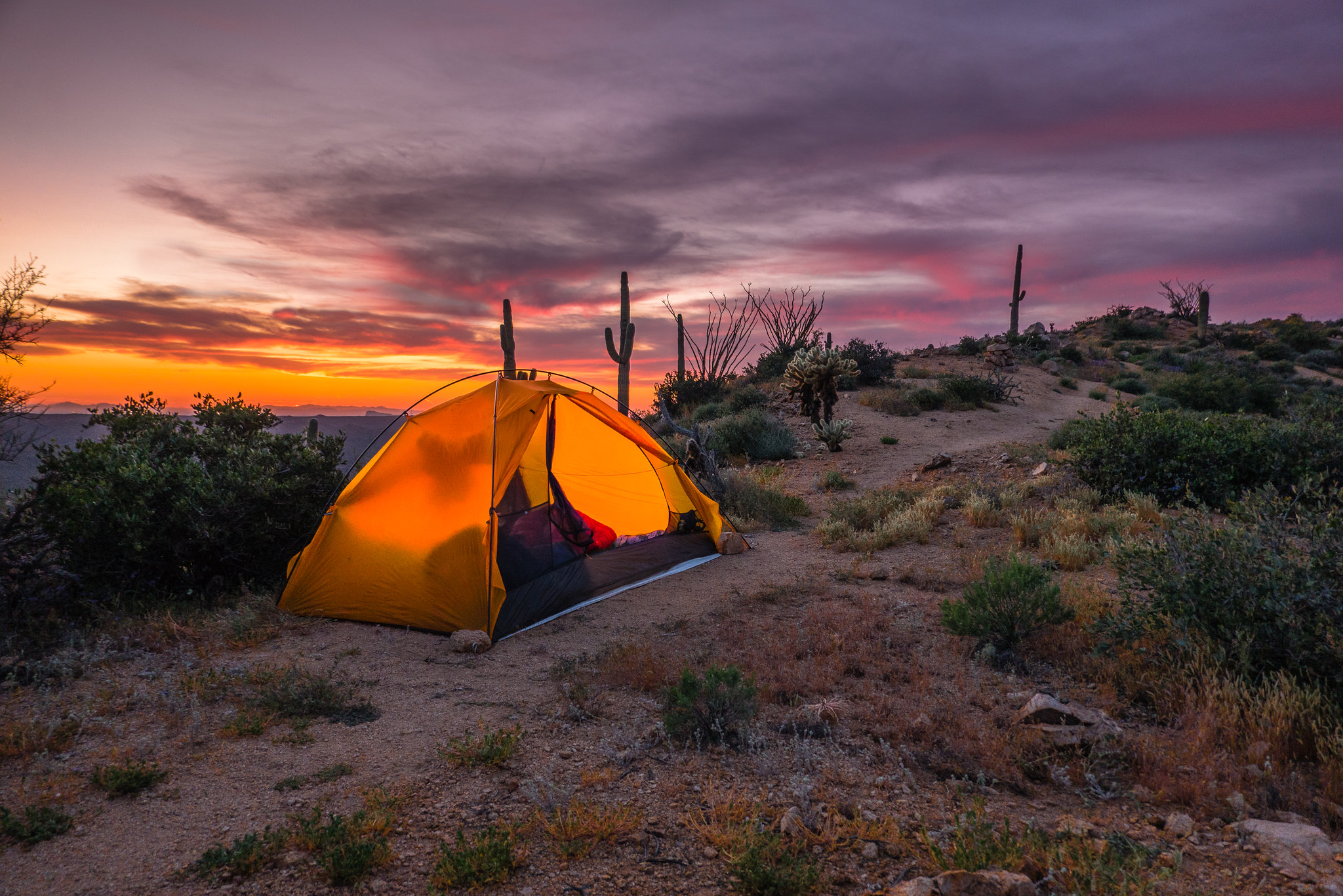
But some of those who venture into Arizona’s vast wilderness aren’t properly prepared for it. They become lost, run out of supplies or don’t have enough water. And the COVID-19 pandemic has drawn even more people outside, creating more problems.
Enter SPOT, a company that makes satellite communication devices that can make exploring remote areas in Arizona and other places safer, especially for newcomers to the outdoors.
“With (the) trend of more and more people going outdoors because of COVID-19 restrictions, people are not as skilled in doing some of these outdoor activities,” said Denise Davila, corporate communications director for SPOT. “Whether that’s hiking or whitewater rafting or whatever outdoor activity you’re engaging in, maybe you’re a newbie. So it makes even more of a case for having a device like this, because it’s a little bit of insurance.”
SPOT works directly with sheriff offices throughout Arizona to coordinate rescues of people stranded, whether they are hikers, climbers, rafters or other adventure seekers.
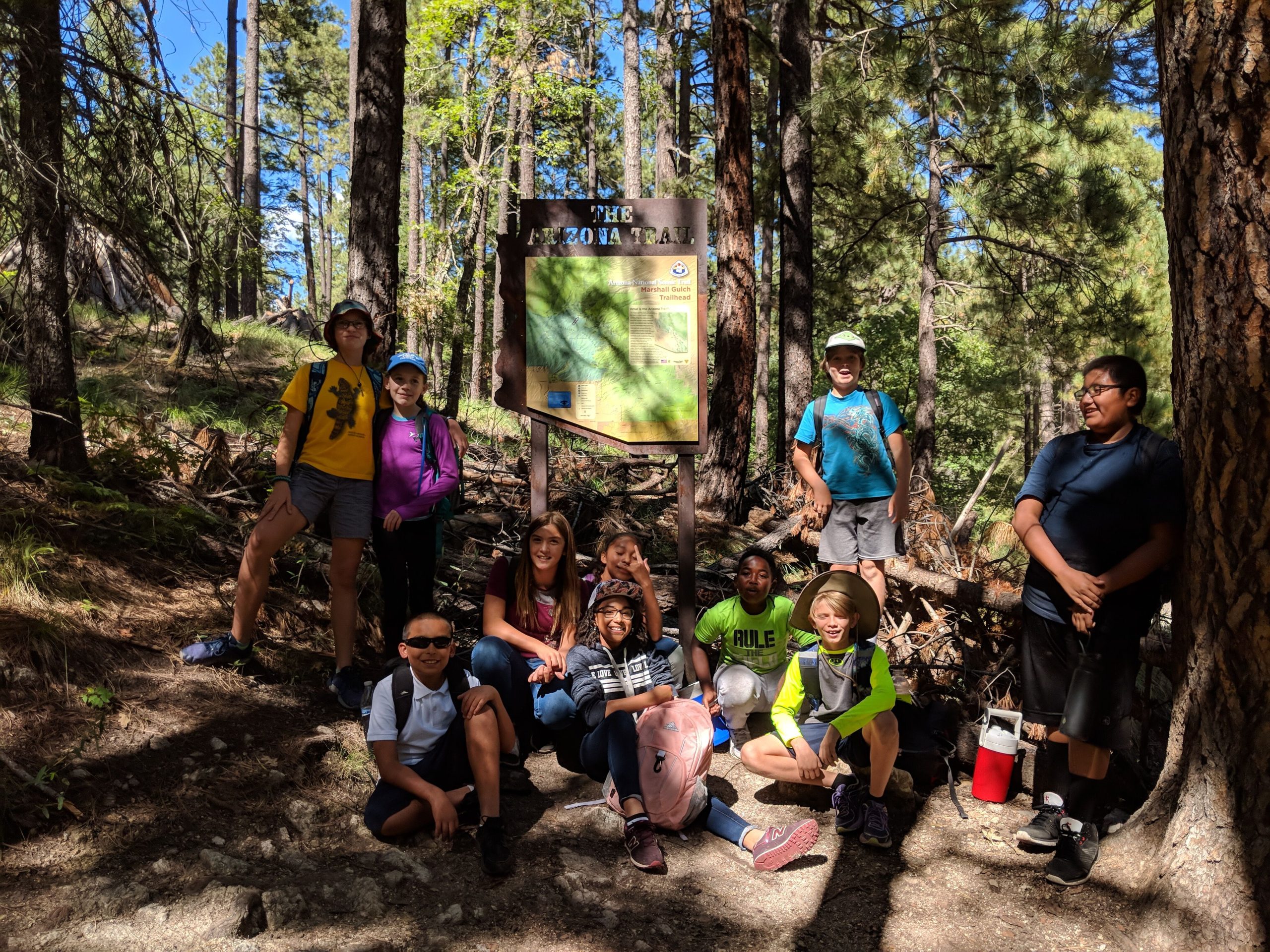
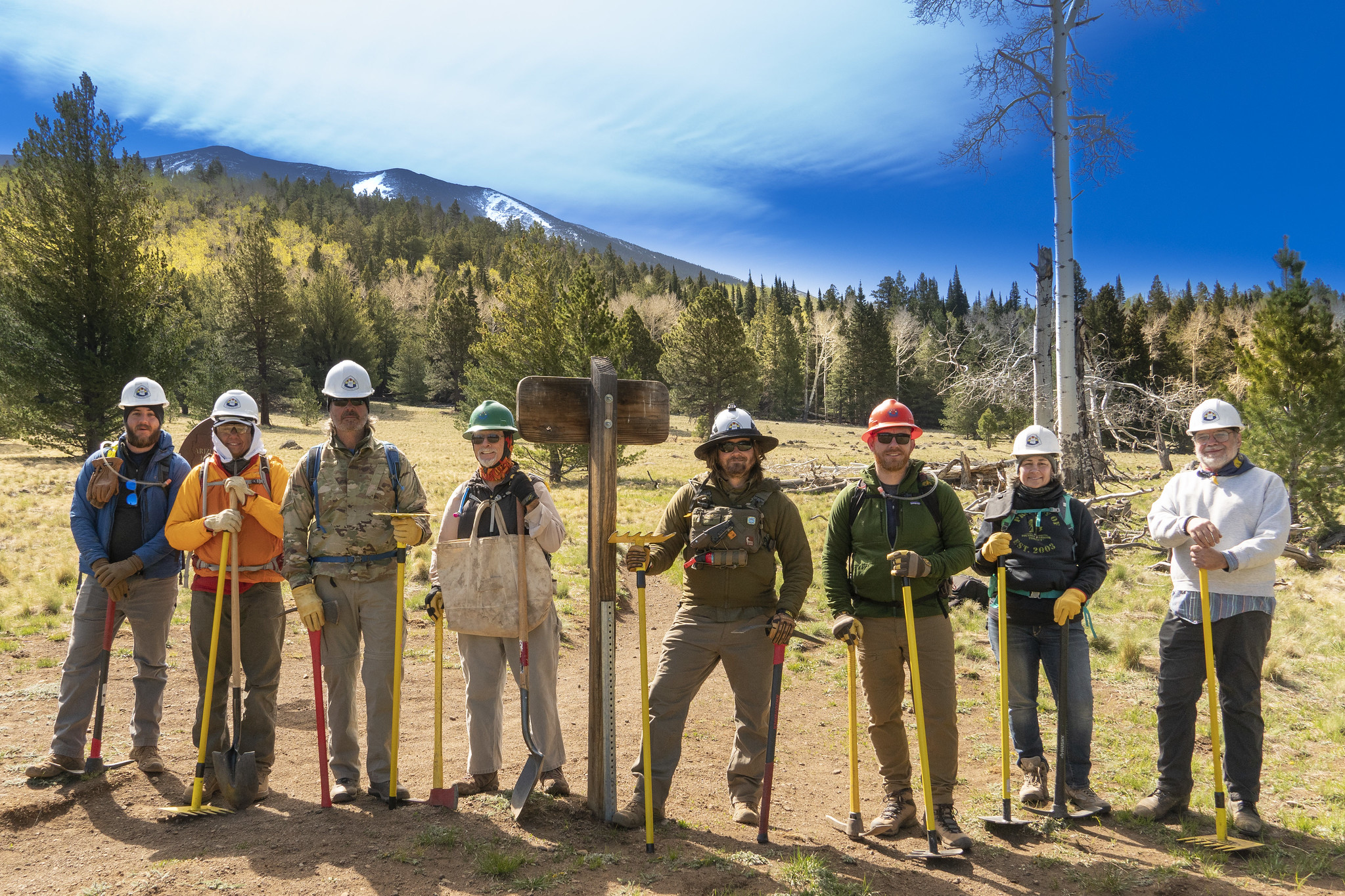
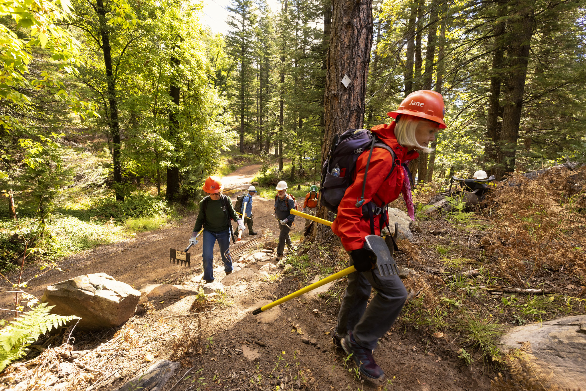
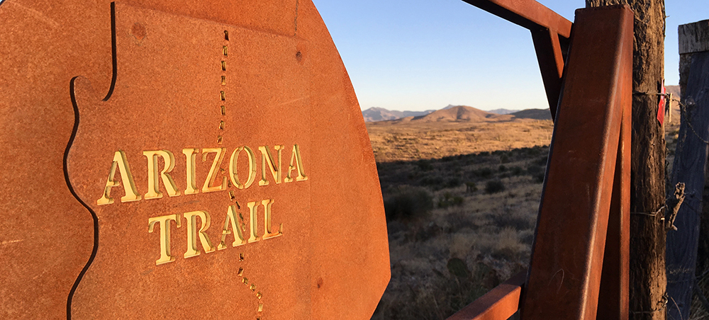
The technology is also popular among thru-hikers – those who traverse some of the country’s National Scenic Trails, like the 800-mile Arizona National Scenic Trail – allowing family or friends to track their progress or for rescue teams to find them in times of peril.
“(It’s) tremendously helpful for search and rescue units to determine fairly precisely where the location of an incident is,” said Sgt. Aaron Dick, who leads Coconino County’s search and rescue unit. “We may get a better understanding of, ‘What is the problem?’ Like if somebody is missing from the party, or if we have a search situation, or if there’s an injury or a medical problem or if you’re stuck in the snow.
“That gives us a better idea of what tools we should bring and what personnel (is needed).”
It works like this: SPOT’s hand-held, carriable, satellite-linked devices are connected 24 hours a day, every day of the week, to an international rescue center run by GEOS. It fields calls and determines location coordinates when someone pushes the SOS button on a SPOT device.
The center alerts the closest municipalities to a stranded individual or group, which triggers a rescue response from the local squad.
“There is a potential for two-way communication to help us better understand what the problem is and so we know what kind of resources we need to bring to that situation,” Dick said.
Since January of 2010, SPOT has fielded 165 punches of the SOS button on its devices in Arizona. Of those, 77 were designated as “hiking/mountain sports” rescues. Motor vehicle and medical rescues are next with just 22 and 21 incidents, respectively.
“Specifically in Arizona, as you might suspect, a lot of the activity that we see tends to occur around the national parks area,” Davila said. “So you know, Grand Canyon National Park, Lake Mead, Grand Canyon Village, Saguaro National Park.”
Dick said device activations like those on SPOT systems are rare, but he has seen an uptick lately.
“More recently, it’s on the increase,” he said. “There are more of these devices getting out there and people are buying them. We expect that we will see more activations of these types of devices. In the past 10-15 years, we’ve responded to about 12 PLBs (Personal Locator Beacon distress signals) throughout Coconino County, and in the past few years we’ve responded to six or seven devices.”
Coconino County covers a large swath of Northern Arizona, including Grand Canyon National Park, the San Francisco Peaks, the northern, more remote areas of Sedona, inner Sycamore Canyon and the top of the Mogollon Rim – all vast landscapes with plenty of beauty, but also plenty of potential trouble.
That’s when devices like SPOT can be a life-saver. Davila had multiple examples of hikers, adventurers or even farmers finding themselves in sticky situations all across the country – from Colorado to Montana to California’s Yosemite National Park.
“It’s the type of device that you want to think about like, you don’t want to have it. But in the event that you do need it, you’re very, very grateful that you have it,” Davila said.
To read the rest of the article, click here.
