Shady, swooping trail in Flagstaff is fun for hikers, mountain bikers. Here’s how to do it
Arizona Republic (September 16, 2021) by Mare Czinar
Slung between the edge-hugging dirt track of Schultz Pass Road and the sheer foothills below Mount Elden, Schultz Creek Trail rolls out like an emerald half-pipe.
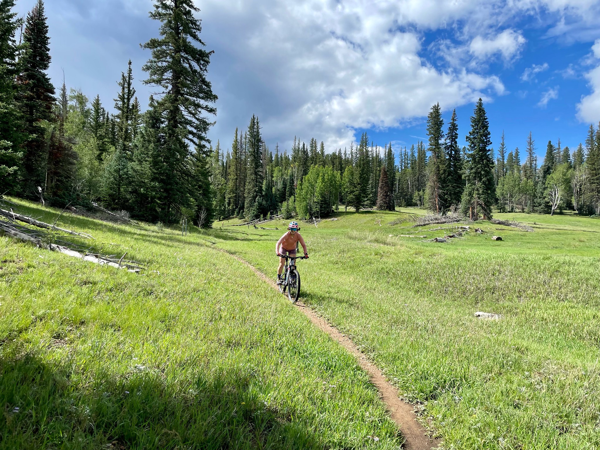
Because of its fluid, north-south track, hairpin turns and mild jumps, the historic route in the Mount Elden-Dry Lakes Hills area just a few miles north of downtown Flagstaff is a magnet for mountain bikers as well as hikers who don’t mind sharing the path with swooping wheeled traffic.
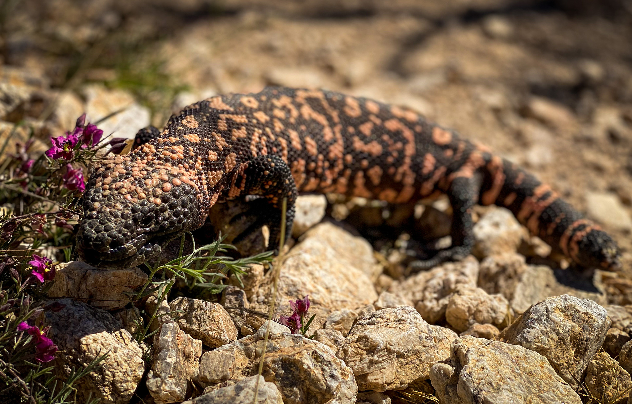
The pine-cloistered trail clings to ledges above numerous drainages and the course of Schultz Creek. The U-shaped space through which the trail runs is short on mountain views but long on woodland diversity.
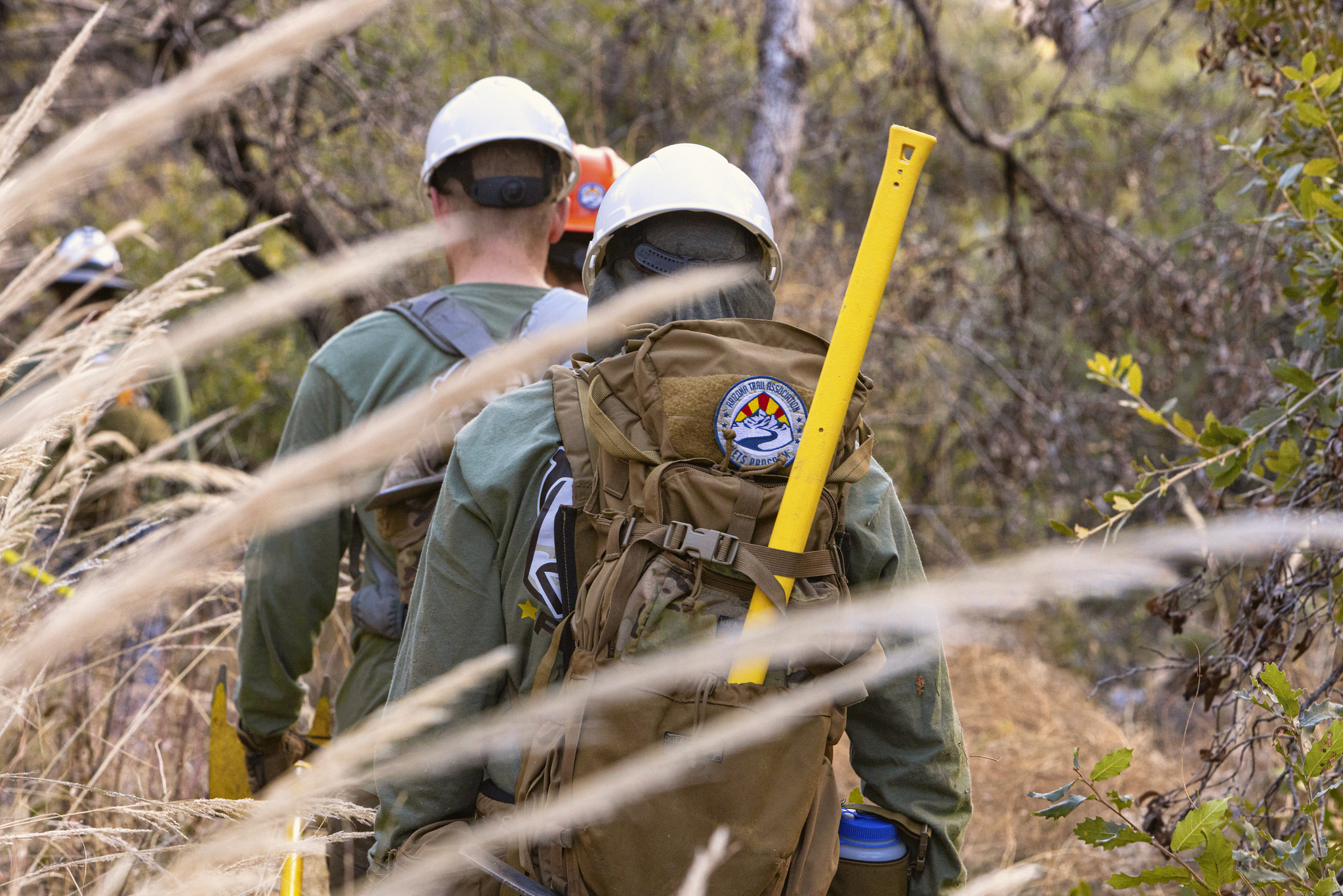
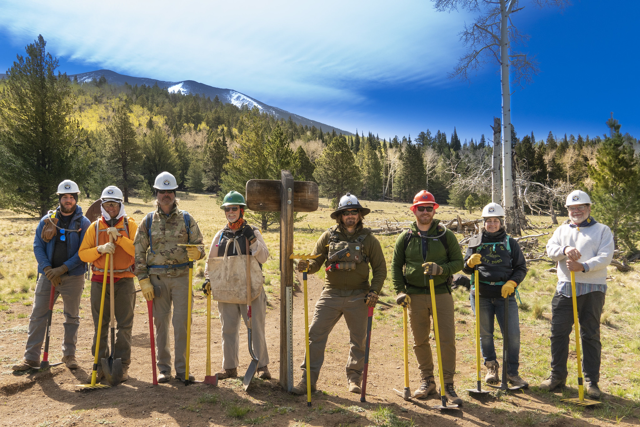
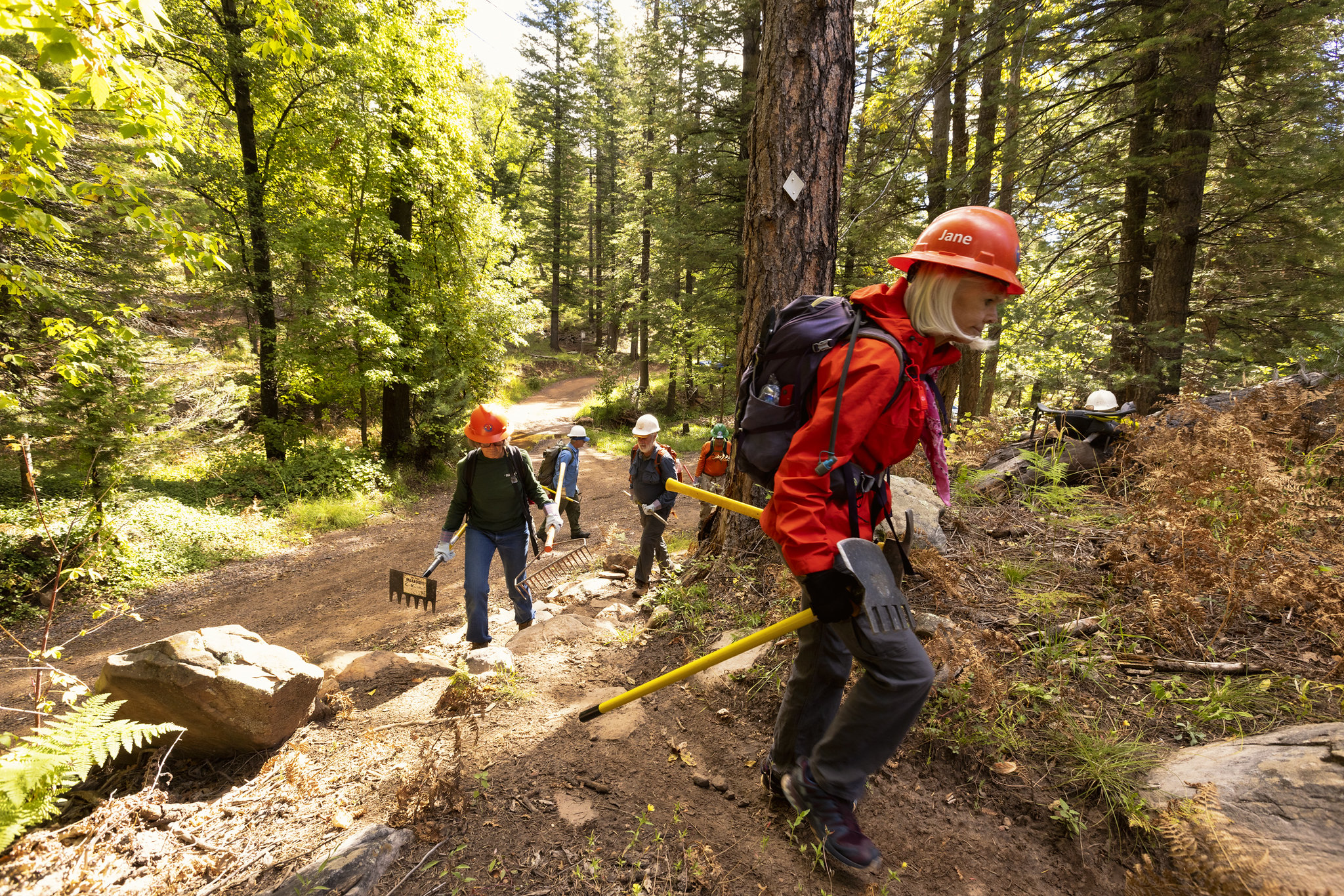
Throughout the hike, slash piles — pyramids of cut logs and brush — are stacked neatly off to the side. The piles are part of the ongoing Midway portion of the Flagstaff Watershed Protection Project, a joint effort of state, city and Coconino National Forest teams to help reduce the risk of catastrophic wildfires and post-fire flooding through treatments such as tree thinning and fuels reduction.
Forest service contractors will use heavy equipment to move the piles in the vicinity of Schultz Pass now through March. Trail users should exercise caution and steer clear of oversize trucks around the Sunset trailhead and surrounding forest roads. Parking at the south trailhead or overflow lot will be the smart move for the next few months.
Schultz Creek Trail presents a constant but moderate climb that begins in ponderosa pine forests that gradually merge with fir and spruce as the path approaches its higher elevations.
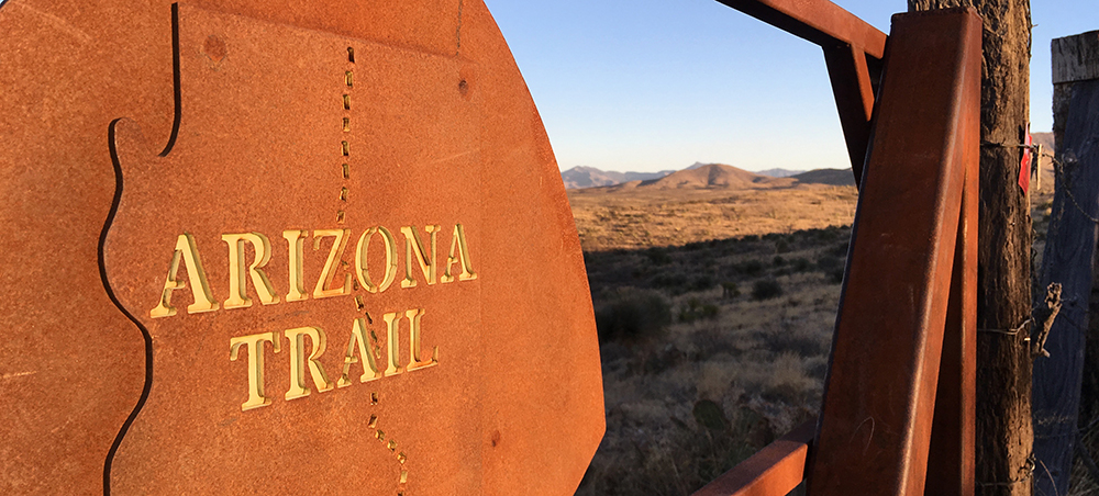
The first 2.9-mile slice of the route is also part of the Arizona National Scenic Trail’s Passage 34, one of the most beautiful and popular sections of the 800+-mile, state-traversing path.
Right about where the Arizona Trail spins off to the left, aspen trees commandeer the landscape. A break in the deep-woods shade that dominated much of the hike up to this point allows plenty of sun into the steep-walled ravine where the white-barked alpine trees thrive in moist meadows.
The final 1.5 miles to the northern terminus at the Sunset trailhead stay close to Schultz Pass Road and the course of the creek.
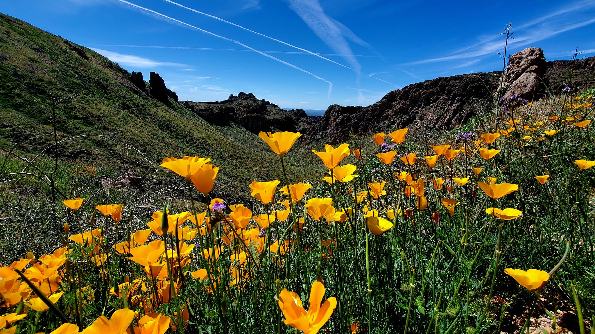
Paralleling the seepy, swampy, willow-cluttered creek, the trail passes among colorful wildflower fields and brambles before meeting the Schultz Loop Trail, an optional mile-long detour that lands hikers near Schultz Tank where numerous routes link with the Fort Valley trail system, Kachina Peaks Wilderness and more Dry Lakes Hills paths.
To read the rest of the article, click here.
