


Recent reports from hikers show that the crossing at the East Verde River is at a record high! Crossing this river requires wading in cold, deep water. You will see AZT signs on both sides of the river, however most hikers cross at the rapids 20 yards downstream since this is where it's the most shallow. The calmer water is deeper. Be careful!
Read More
Location
- East Verde River to Pine
Length
- 20.7 miles
Resources
- MAP
- PROFILE
- TRACK
- Waypoints: GPS | MP
- Arizona Euro-American History
- USGS Topographic Maps: Cypress Butte, Cane Springs Mountain and Buckhead Mesa.
- Tonto National Forest map.
- BLM Information Center maps.
- “Day Hikes & Trail Rides in Payson’s Rim Country” by Roger and Ethel Freeman, Gem Guides Book Co., Baldwin Park, CA., ISBN 1-889786-24-1.
Southern Access Point: The East Verde River
- GPS Coordinates: 34.22915° N, 111.51299° W
- NOTE: This trailhead is not directly accessible by vehicles. The nearest vehicle access point (34.21468° N, 111.48250° W) is 4 miles east of the trail at the wilderness boundary.
Access
From the town of Payson at the intersection of AZ 87 and Main Street; take Main Street west for 2 miles, which turns into Country Club Drive. Near the end of Country Club Drive, the road passes a sanitation plant, crosses a creek and continues on paved road for another 6 miles. This newly paved road is referred to as Doll Baby Ranch Rd. or LF Ranch Rd. depending on which map is being used. At this point it becomes a dirt doubletrack (FR 406). Continue on FR 406 for approximately 3 miles, passing City Creek Trailhead and Doll Baby Ranch, eventually arriving at the locked gate. This is the Doll Baby Trailhead; parking and camping are allowed.
From the trailhead, walk around the gate and hike on the doubletrack for 3.9 miles. The road will wind around the hills and eventually level out in the valley near the ranch. The AZT will intersect the road from the west as a faint singletrack.
Northern Trailhead: Pine Trailhead
- GPS Coordinates: 34.37432° N, 111.44310° W
Access
Drive south of Pine on AZ 87 for 0.6 miles and turn left (east) to reach a large parking area and the trailhead.
Trail Route Description
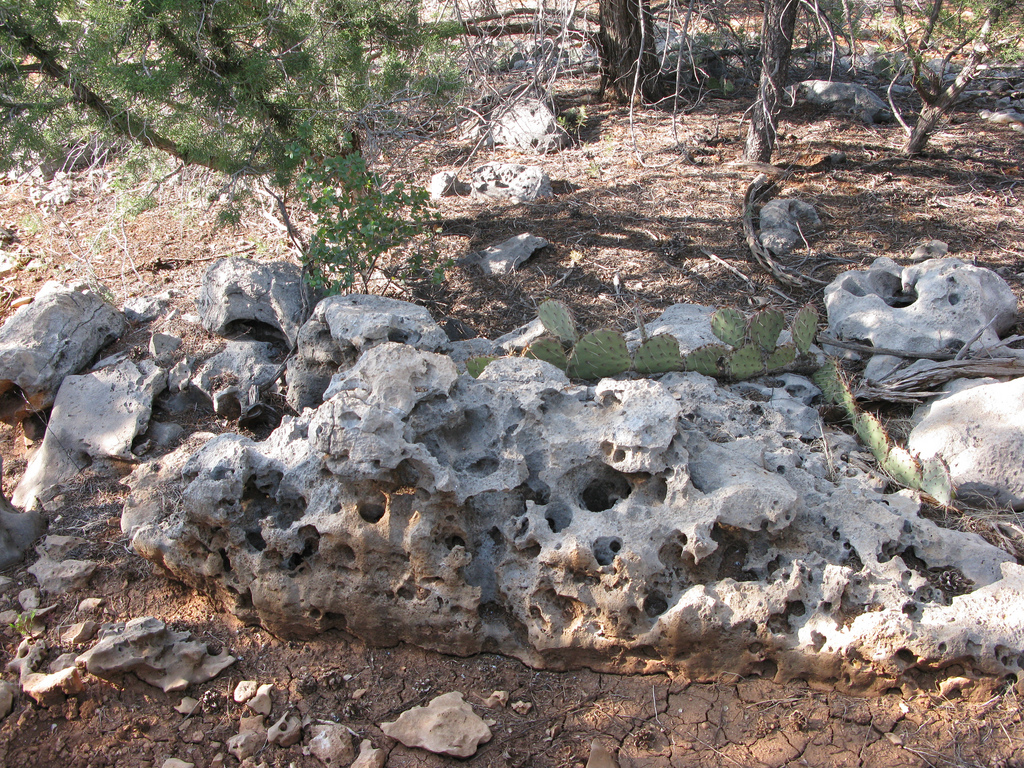
Passage 25 continues north through the Mazatzal Wilderness. This section begins with a steady ascent from the East Verde River toward the Mogollon Rim. The trail here ascends through a high desert terrain characterized by juniper and piñon pine with some steep climbs over rugged and very rocky terrain.
This passage uses historic trails and recently-built singletrack to travel from the north end of the Mazatzal Wilderness to the Pine Trailhead. Although this passage exits the designated wilderness, portions of it feel quite remote, and the lush zone through Oak Spring Canyon is beautiful. Trail users also enjoy frequent views of the Mogollon Rim, the massive and colorful escarpment that rises 1,500 feet above the Pine Valley.
Difficulty
- Moderate
Season(s)
All year. Snow can be present at higher elevations after winter storms and lower elevations can be quite warm in summer
Water
Water can always be found at the East Verde River, and usually at Polk Spring, Whiterock Spring and at Oak Spring. Check the online Arizona Trail Water Report for current information at https://aztrail.org/explore/water-sources/.
Notes/Warnings
- All water along this passage should be purified prior to use.
- Mountain bikes are prohibited in the Mazatzal Wilderness.
- Please respect all livestock operations in this area.
For more information
- The Passage Steward
- Tonto National Forest, Payson Ranger District, 1009 E. Highway 260 Payson, AZ 85541 (928) 474-7900.
- BLM Information Center (602) 417-9300.
