


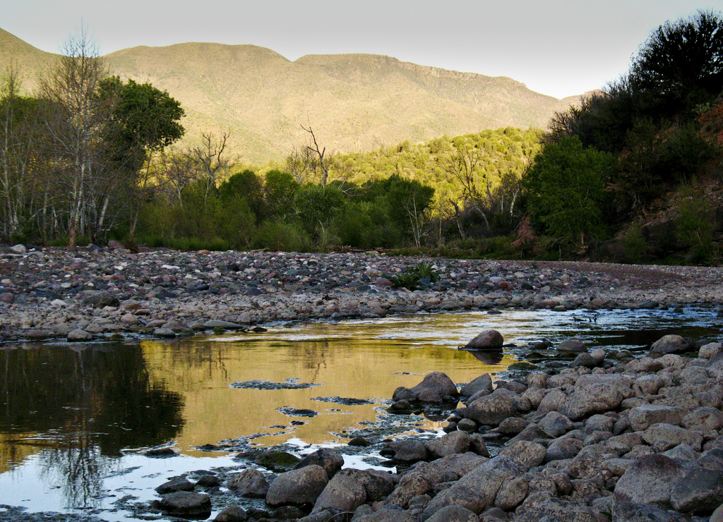
Recent reports from hikers show that the crossing at the East Verde River is at a record high! Crossing this river requires wading in cold, deep water. You will see AZT signs on both sides of the river, however most hikers cross at the rapids 20 yards downstream since this is where it's the most shallow. The calmer water is deeper. Be careful!
Read More
Location
- Red Hills Trail junction to the East Verde River
Length
- 10.7 miles
Southern Access Point: Red Hills Trail Junction
- GPS Coordinates: 34.18046° N, 111.50359° W
- NOTE: There is no vehicle access to this wilderness trailhead. See adjoining passages for additional information.
Access
From Payson on AZ 87 drive west on Main Street. Stay on the main road past a golf course, where the pavement ends and the road becomes FR 406. About 10 miles from AZ 87, park at City Creek Trailhead on the east side of the road. Hike southwest up the Mazatzal Divide Trail #23 for approximately 5.75 miles to the junction of the Mazatzal Divide trail and the Red Hills Trail.
Northern Access Point: The East Verde River
- GPS Coordinates: 34.22915° N, 111.51299° W
- NOTE: This trailhead is not directly accessible by vehicles. The nearest vehicle access point (34.21468° N, 111.48250° W) is 4 miles east of the trail at the wilderness boundary.
Access
East Verde River (LF Ranch), via Doll Baby Trailhead: From the town of Payson at the intersection of AZ 87 and Main Street; take Main Street west for 2 miles, which turns into Country Club Drive. Near the end of Country Club Drive, the road passes a sanitation plant, crosses a creek and continues on paved road for another 6 miles. This newly paved road is referred to as Doll Baby Ranch Rd. or LF Ranch Rd. depending on which map is being used. At this point it becomes a dirt doubletrack (FR 406). Continue on FR 406 for approximately 3 miles, passing City Creek Trailhead and Doll Baby Ranch, eventually arriving at the locked gate. This is the Doll Baby Trailhead; parking and camping are allowed. From the trailhead, walk around the gate and hike on the doubletrack for 3.9 miles. The road will wind around the hills and eventually level out in the valley near the ranch. The AZT will intersect the road from the west as a faint singletrack.
Trail Route Description
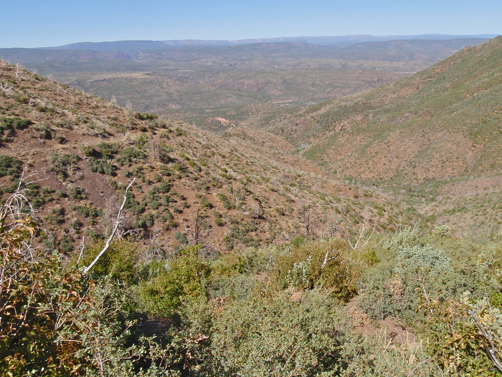
Passage 24 continues through the Mazatzal Wilderness and descends into the valley of the East Verde River. This section consists of rolling terrain followed by a long descent and features unique biodiversity with scenic views of the Mogollon Rim.
The trail descends nearly 3,000 feet and passes through a variety of Arizona’s biotic communities, from majestic stands of ponderosa pines to a lush riparian zone whose inhabitants include turtles and rare birds.
The East Verde River is a special highlight of this passage, since it is only one of four rivers that the AZT crosses between Mexico and Utah, and is one of only two Wild and Scenic Rivers within the entire state!
Difficulty
- Moderate
Season(s)
All year. Snow can be present at higher elevations after winter storms and lower elevations can be quite warm in summer
Water
Water can probably found at Brush Spring. Very reliable water at end of the passage us the East Verde River. Check the online Arizona Trail Water Report for current information at https://aztrail.org/explore/water-sources/.
Notes/Warnings
- All water along this passage should be purified prior to use.
- Mountain bikes are prohibited in the Mazatzal Wilderness.
Resources
- Map of Passage 24
- USGS Topographic Maps: North Peak and Cypress Butte.
- Tonto National Forest map.
- BLM Information Center maps.
For more information
- The Passage Steward
- Tonto National Forest, Payson Ranger District, 1009 E. Highway 260 Payson, AZ 85541 (928) 474-7900.
- BLM Information Center (602) 417-9300.
