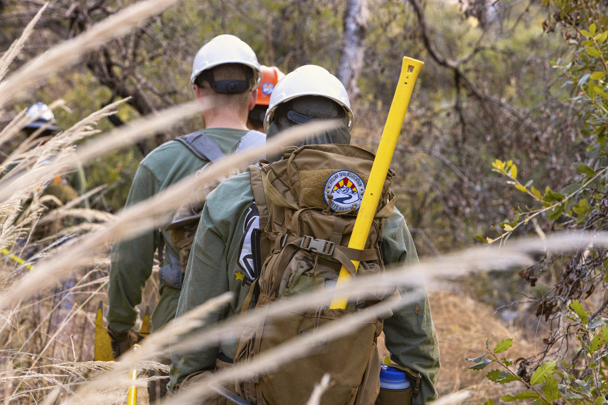
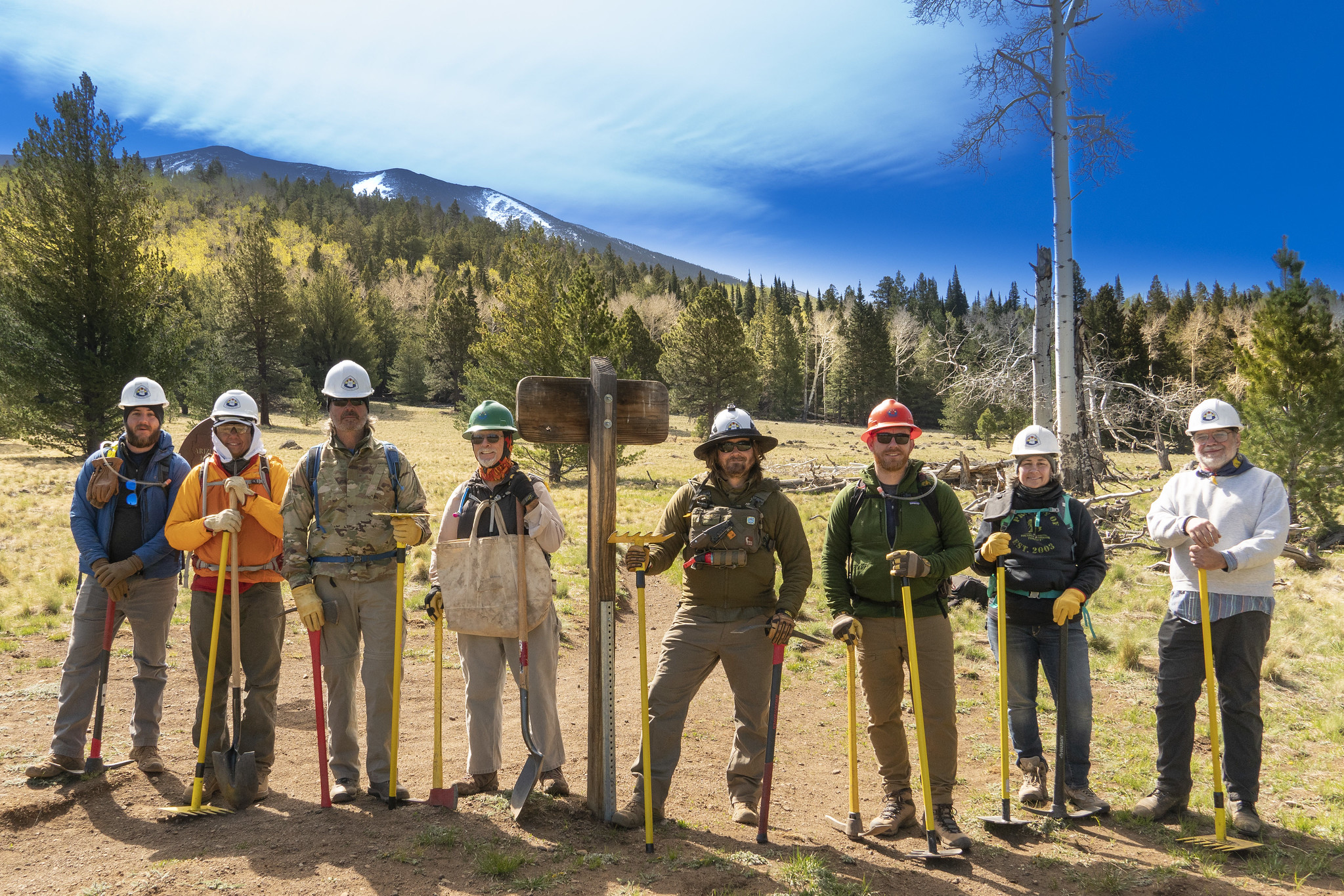
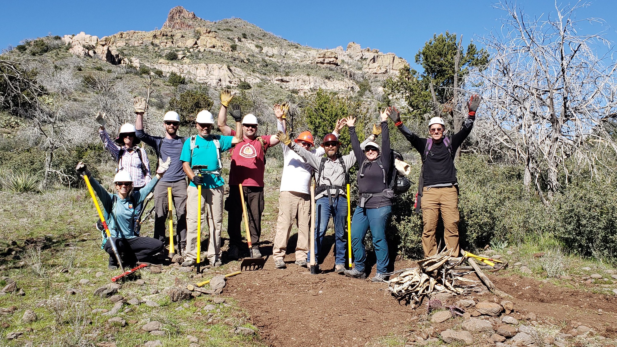
After 18 months of hard work, our partners at the Coronado National Forest have released the first comprehensive trail plan for the Santa Catalina Ranger District, which includes the northern slope of the Rincon Mountains, Mount Lemmon, Summerhaven and Oracle Ridge. According to Adam Milnor, Recreation, Heritage and Lands Staff Officer for the Forest, the plan includes projects to "diversify trail opportunities, improve sustainability, create new trail connections and boost trailhead access" on the district. A number of the proposed projects will impact Passages 9-12 of the Arizona National Scenic Trail, addressing long standing issues with this well-loved portion of the Trail. These aspirations aren't just dreams, either. Thanks to the recent flow of federal funding from sources such as the Great American Outdoors Act, or GAOA, many of these projects may become reality starting as soon as this winter. The ATA joined the Southern Arizona outdoor recreation community and other trail organizations such as the National Forest Foundation, Tucson Off Road Cyclists and Activists, Santa Catalina Volunteer Patrol, Pima County, Friends of the Santa Catalina Trails and others to help Forest Service staff shape the plan - and we will continue to be involved in it's implementation. ATA volunteers...
Read More
Location
- Gordon Hirabayashi Campground to Marshall Gulch Trailhead
Length
- 18.5 miles
Southern Access Point: Gordon Hirabayashi Campground
- GPS Coordinates: 32.33581° N, 110.71972° W
Access
Follow Tanque Verde Road east from Tucson and turn left (north) on the Catalina Highway. Drive about 9 miles and pass Molino Basin Campground. Continue 1.7 miles beyond the campground and take the left (west) turn to Gordon Hirabayashi Campground. Drive 0.3 miles to a parking area. Follow a trail out of the south end of the parking lot for 40 yards to reach a “T” intersection with the AZT.
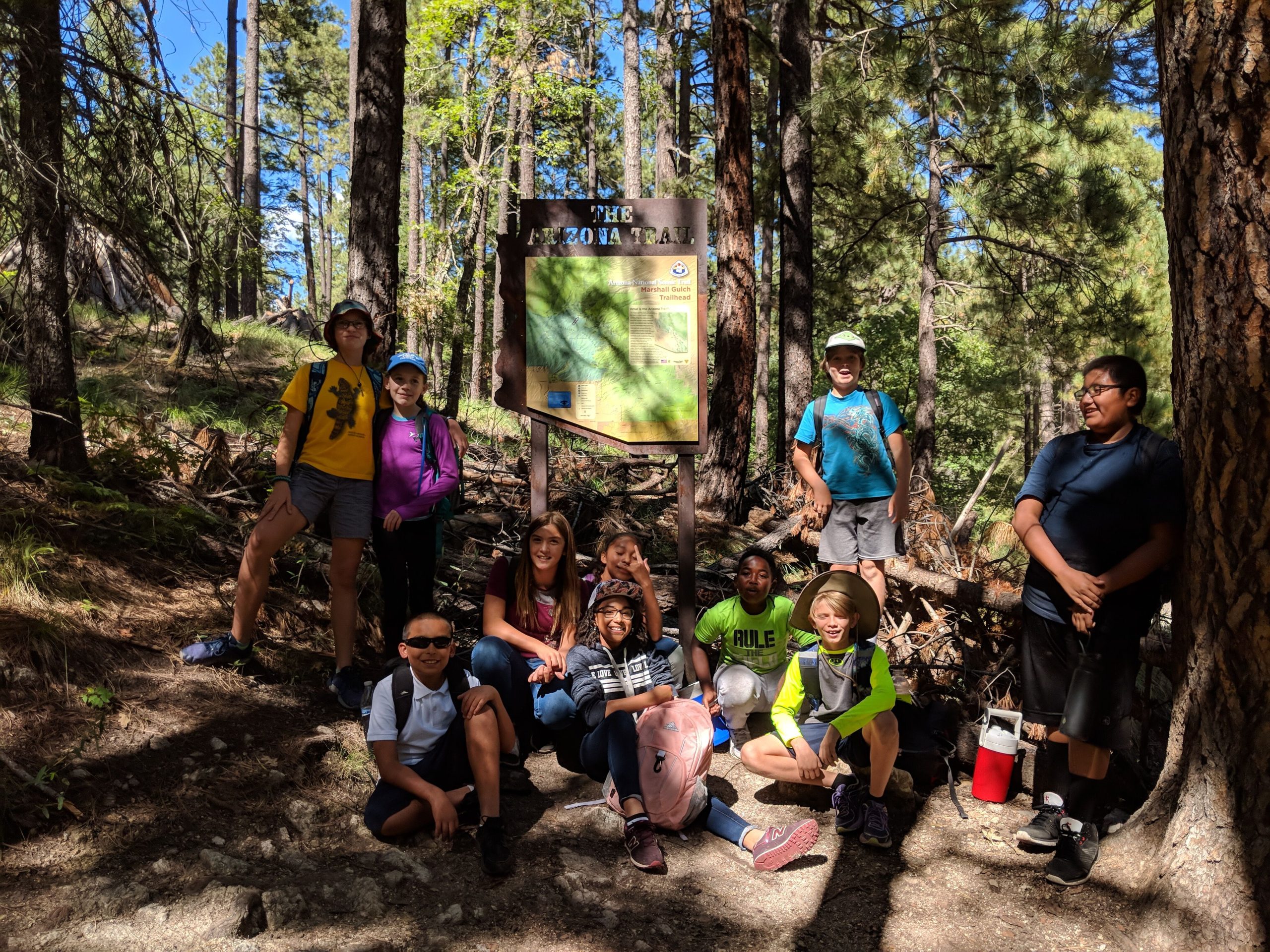
Northern Trailhead: Marshall Gulch Trailhead
- GPS Coordinates:32.42834° N, 110.75569° W
Access
Take Catalina Highway into the Santa Catalina Mountains. Near the top of the mountain range, bear left to the community of Summerhaven. Continue 1.5 miles south to the end of the road at the Marshall Gulch Trailhead. The trailhead is on the west side of the parking area.
Trail Route Description
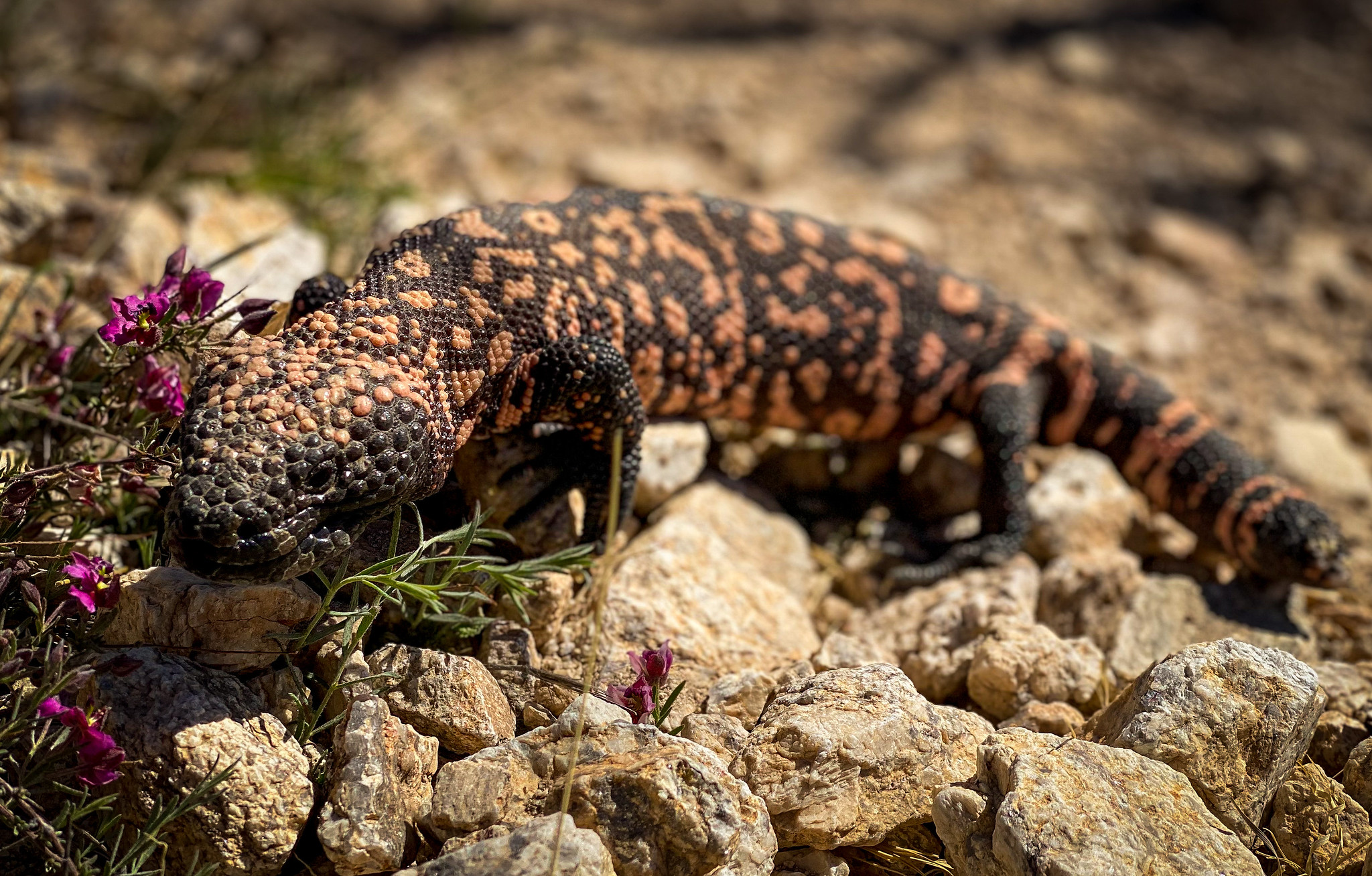
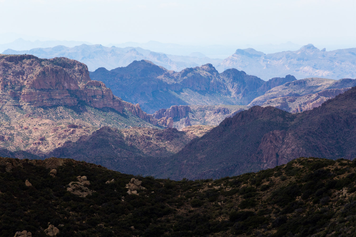
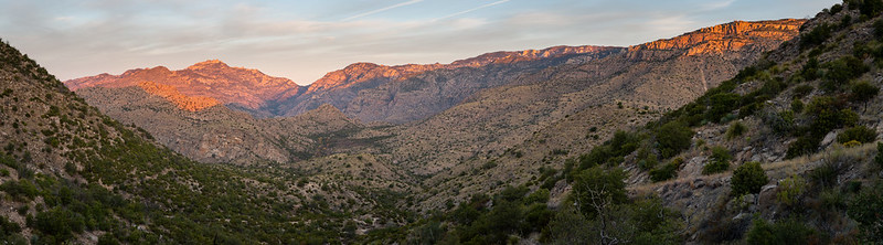
Passage 11 traverses the Santa Catalina Mountains, including Sabino Canyon and the Pusch Ridge Wilderness. This section features extreme changes in elevation and climate, along with unique biodiversity and refreshing swimming pools – a rare treat along the AZT!
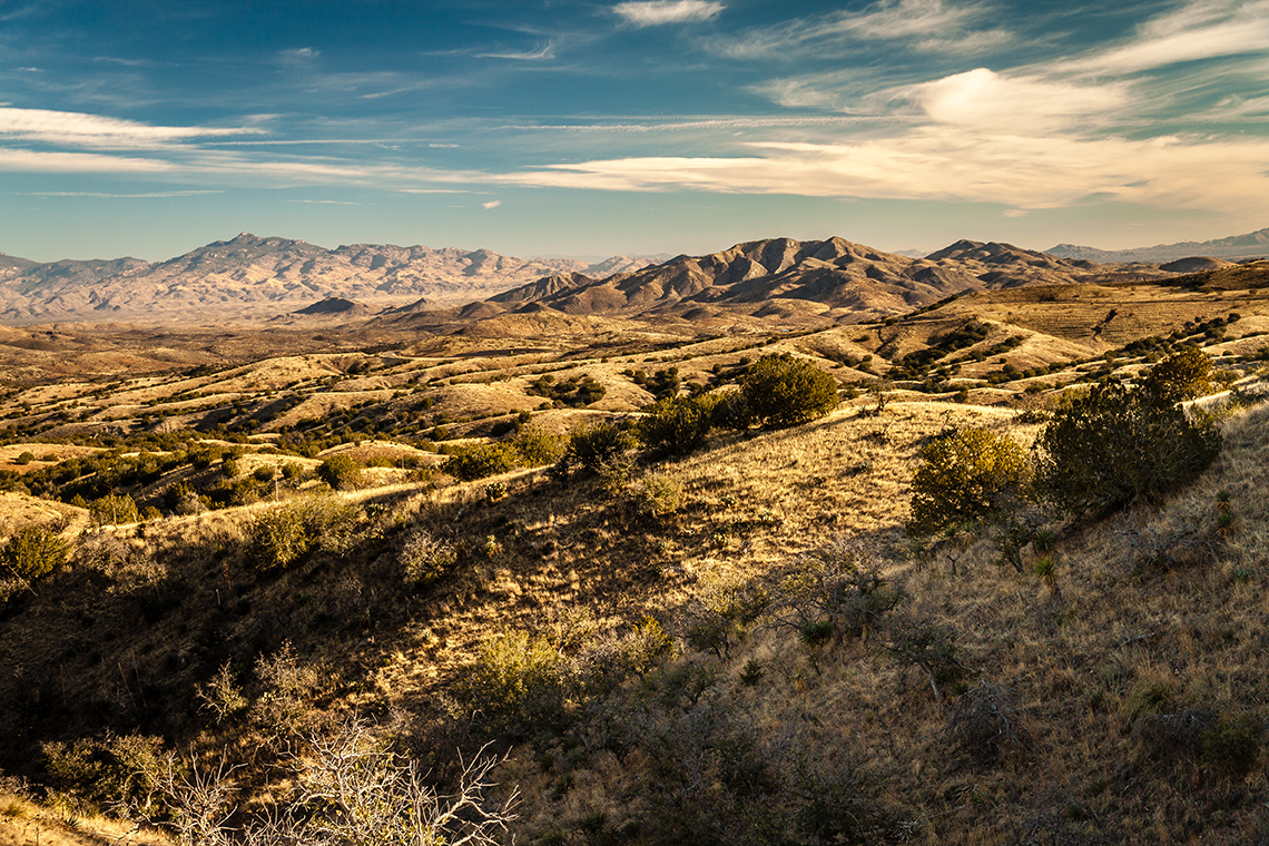
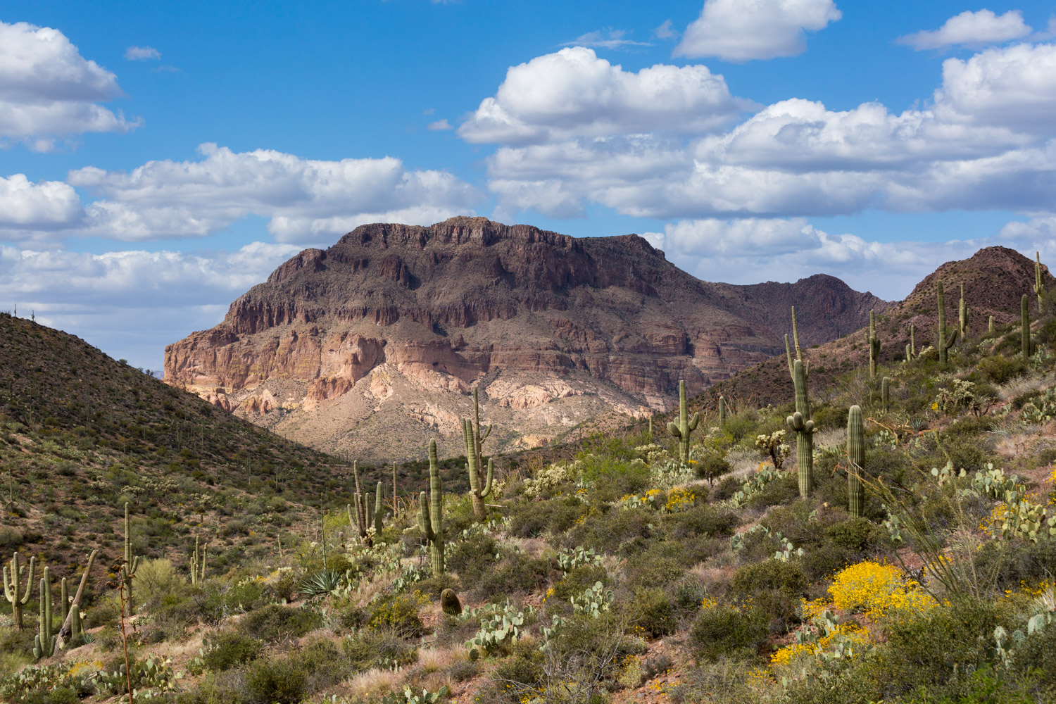
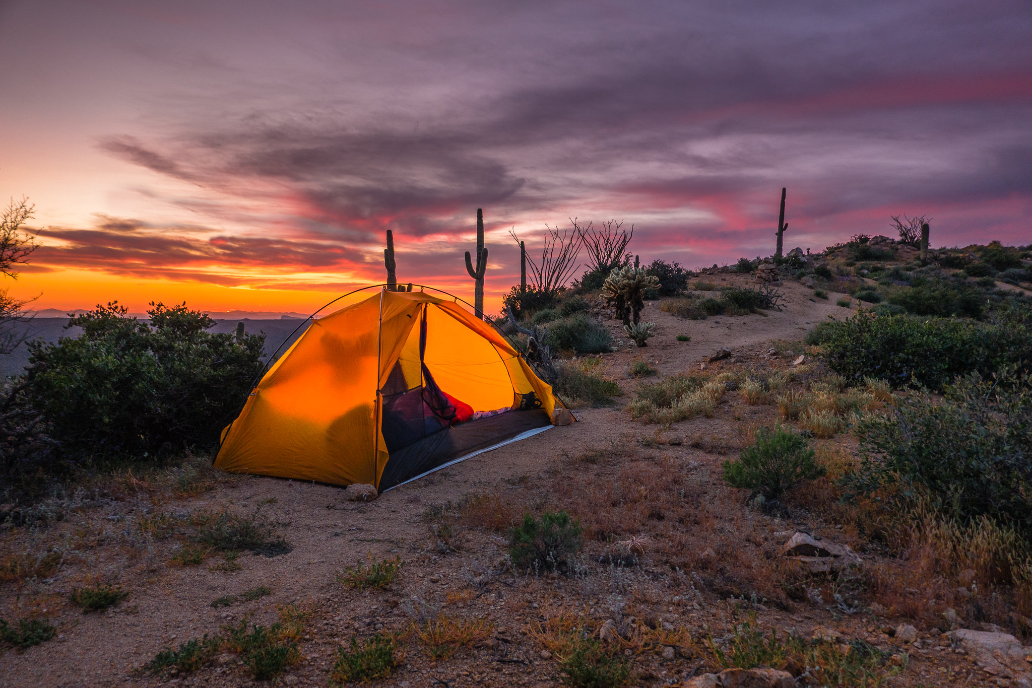
The trail rises and falls through dry grasslands, deep canyons, and dense forests. It features spectacular swimming holes, sentinel saguaros, and steep, strenuous miles.
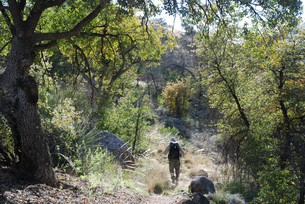
This section begins with a descent towars Sabino Canyon, a spectacular desert oasis with lush valleys and rich riparian corridors tucked between rocky canyon cliffs. The trail winds along the West Fork of Sabino Canyon and passes by Hutch’s Pool, a spectacular swimming hole, and fantastic camping spot tucked away in the mountains. These unique desert watering holes are popular amongst the Tucson locals and can get crowded on the weekends.
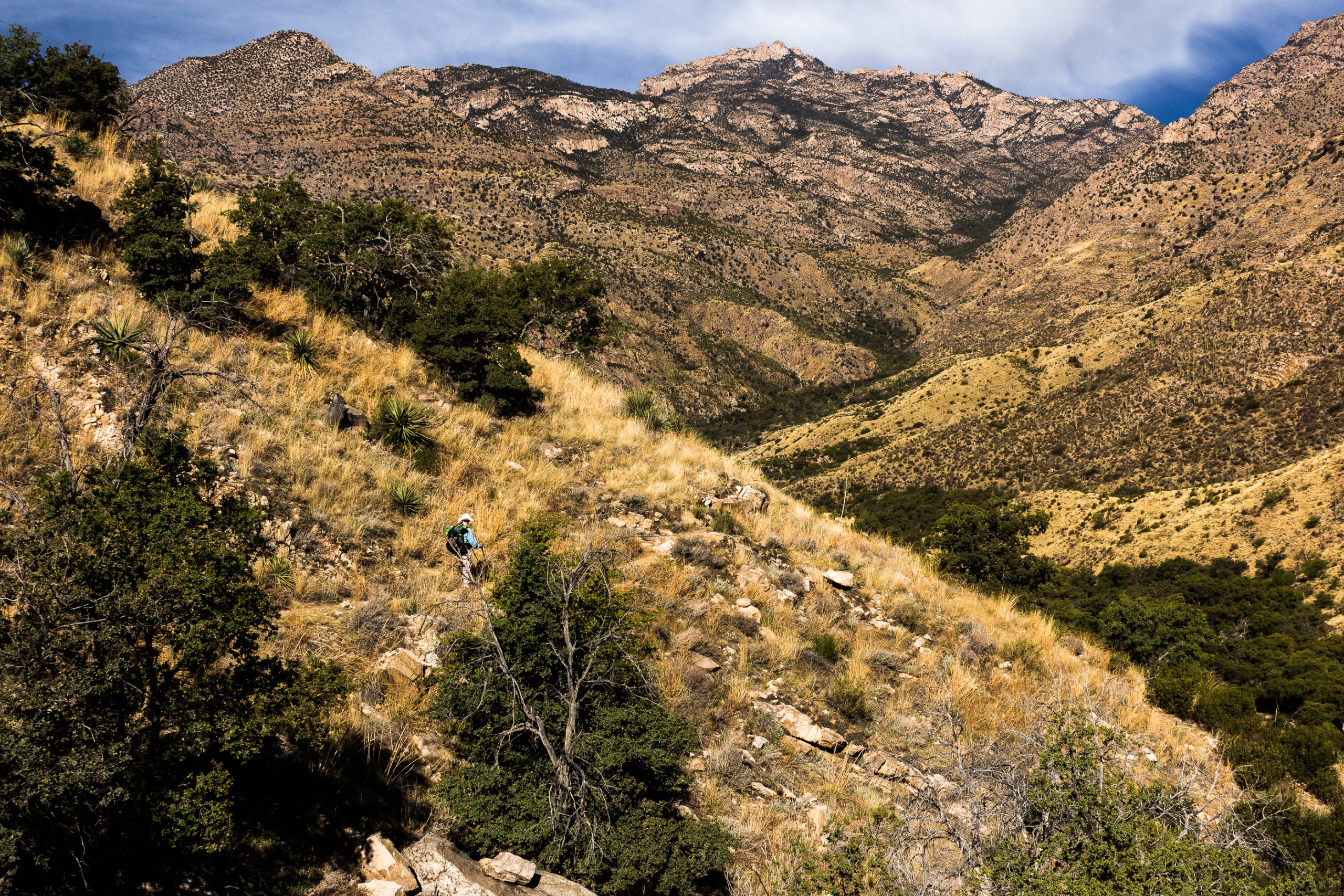
After leaving Hutch’s Pool, the trail climbs steeply through dense forests and granite boulders, including a vertical mile to reach Romero Pass.
The trail continues to climb northeast towards Mount Lemmon, the highest point in the Santa Catalinas, where temperatures can be up to 20 degrees cooler than in the valley (a side trip to the highpoint of this range would add 6.8 miles to the total length of this passage).
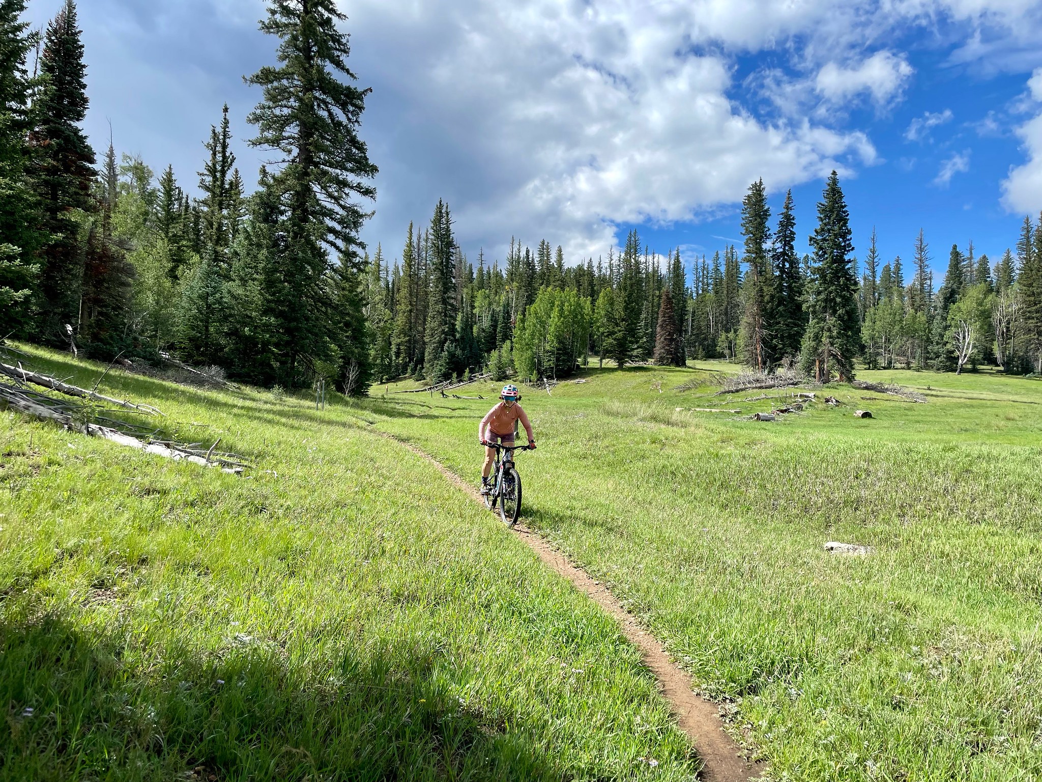
Within the Wilderness of Rock, the trail continues to rise and fall through a dense forest of pine trees and oaks. It passes through granite outcrops with unique rock formations, crosses Lemmon Creek, and then makes a final, short descent to Marshall Gulch and the end of this passage.
Difficulty
- Moderate to Difficult
Season(s)
All year. Snow can be present at higher elevations after winter storms and lower elevations can be quite warm in summer
Water
Water can sometimes be found at Sycamore Canyon usually at Hutch’s Pool, and seasonal water at Lemmon Creek. Check the online Arizona Trail Water Report for current information at https://aztrail.org/explore/water-sources/.
Notes/Warnings
- All water along this passage should be purified prior to use.
- There is a large, deep swimming hole on this passage at Hutch’s Pool.
Resources
- Map of Passage 11
- USGS Topographic Maps: Agua Caliente Hill, Sabino Canyon and Mount Lemmon.
- Coronado National Forest map.
- BLM Information Center maps.
For more information
- The Passage Steward
- Coronado National Forest, Santa Catalina Ranger District, 5700 N. Sabino Canyon Rd., Tucson, AZ 85715 (520) 749-8700.
- BLM Information Center (602) 417-9300.
