


Location
- American Flag Ranch Trailhead to Tiger Mine Trailhead
Length
- 8.6 miles
Southern Trailhead: American Flag Ranch Trailhead
- GPS Coordinates: 32.58079° N, 110.72015° W
- NOTE: This trailhead is not visible from Mt. Lemmon Road. There is a sign directing you to the trailhead, which is a dead end.
Access
From Oracle, turn south at the eastern intersection of AZ 77 and East American Avenue, drive 1.5 miles on American Avenue, and then turn right onto Mount Lemmon Road. Continue 4.0 miles to American Flag Ranch Road, and turn right (west) to reach the trailheads on both sides of the road, including parking areas near the historic American Flag Ranch. The trail on the left (east) side of the road is the start of Passage 13; Passage 12 arrives from the west (right).
Northern Trailhead: Tiger Mine Trailhead
- GPS Coordinates: 32.65044° N, 110.73150° W
Access
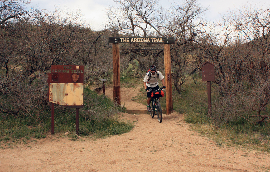
From the east entrance to the town of Oracle, drive 0.8 miles east on AZ 77 to mile marker 105 and turn left (north) onto Old Tiger Road. After 1.5 miles on this road, you’ll see an unmistakable Arizona Trail gateway on the left (north) side of the road. Parking is available on either side of the road.
Trail Route Description
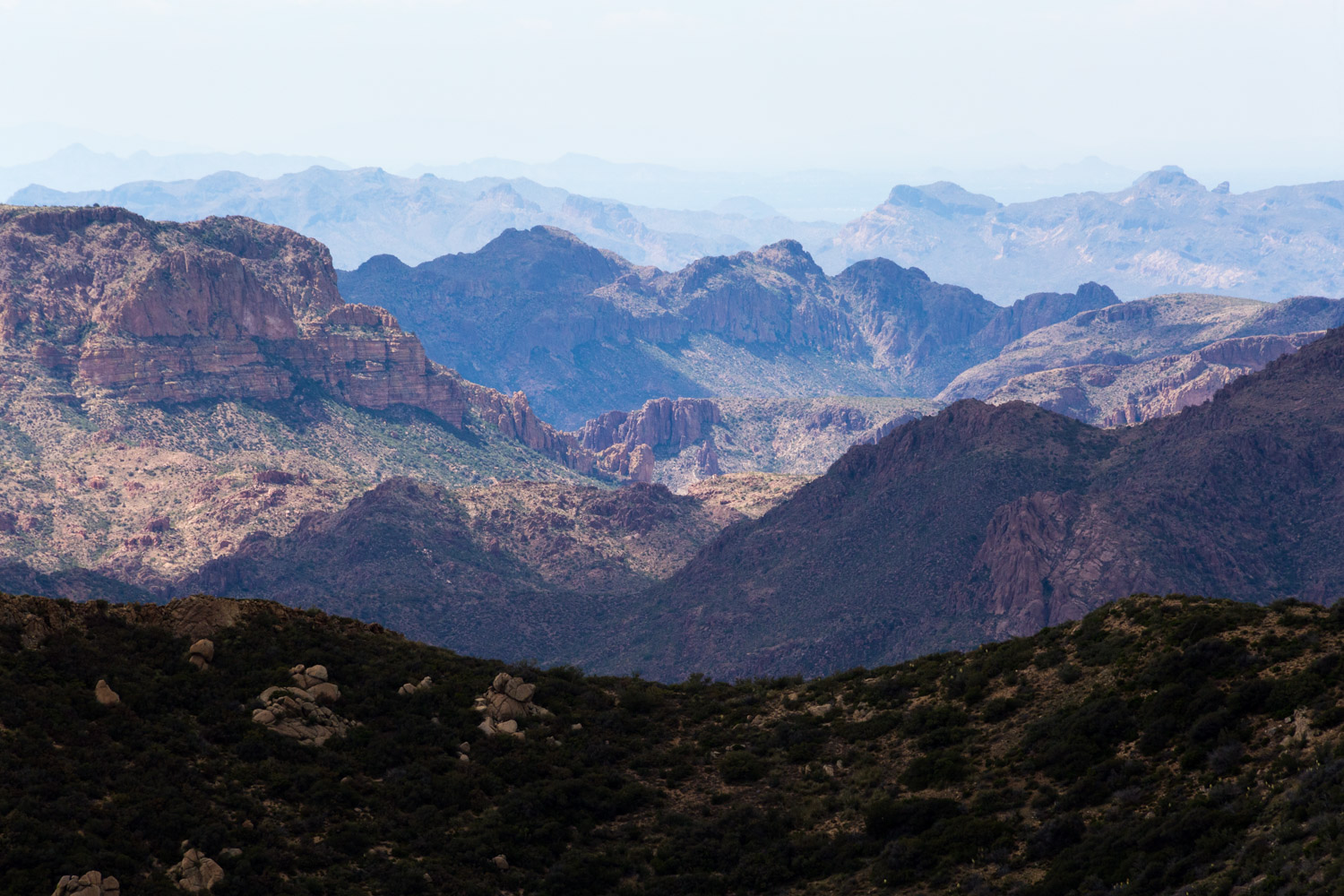
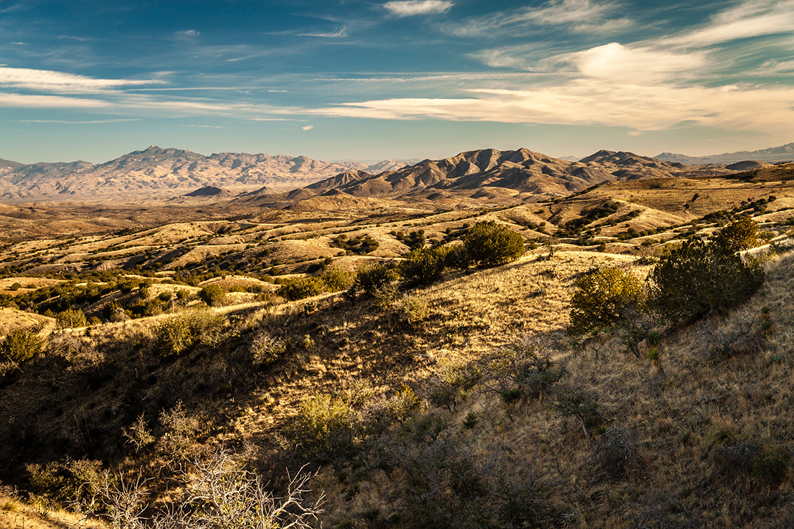
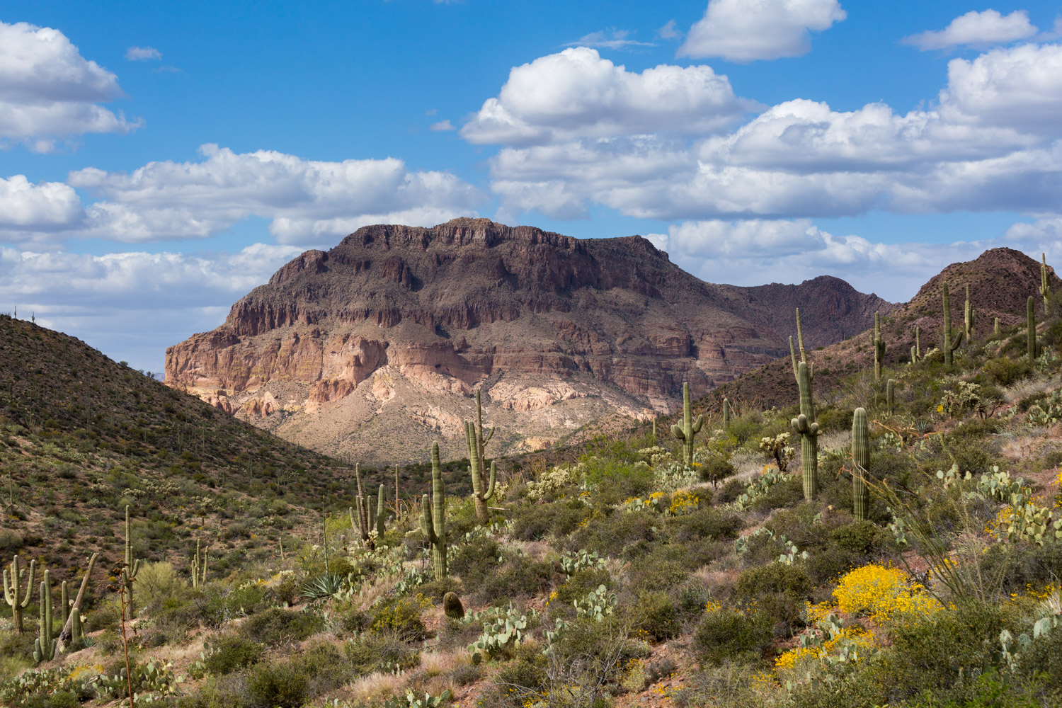
Passage 13 is a short section through Oracle State Park. The trail features singletrack across a rolling terrain with grasslands, oaks, and granite boulders. It crosses sandy washes and low ridges lined with illuminating cholla and prickly pear cactus, mesquite, wildflowers, and a variety of shrubs.
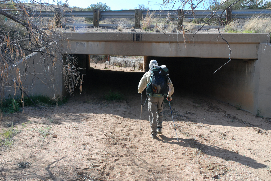
The trail leaves the state park and continues west and northwest until reaching a culvert under Highway 77. The trail passes through the culvert and continues on Old Tiger Road to the end of the section at the Tiger Mine Trailhead.
Difficulty
- Moderate
Season(s)
- Fall, Winter and Spring
- Current weather forecast
Water
There is a resupply cache box located just north of Highway 77 where the trail goes through under a bridge. Check the online Arizona Trail Water Report for current information at https://aztrail.org/explore/water-sources/.
Notes/Warnings:
- For access to American Avenue Trailhead, which is locked, please call Oracle State Park for the code: 520-896-2425
- All water along this passage should be purified prior to use.
- The historic Kannally Ranch is an interesting side trip on this passage. Contact Oracle State Park for information.
Resources
- Map of Passage 13
- USGS Topographic Maps: Campo Bonito and Mammoth.
- Oracle State Park trail map.
- BLM Information Center maps.
For more information
- The Passage Steward
- Oracle State Park, P.O. Box 700, Oracle, AZ 85623 (520) 896-2425.
- BLM Information Center (602) 417-9300.
