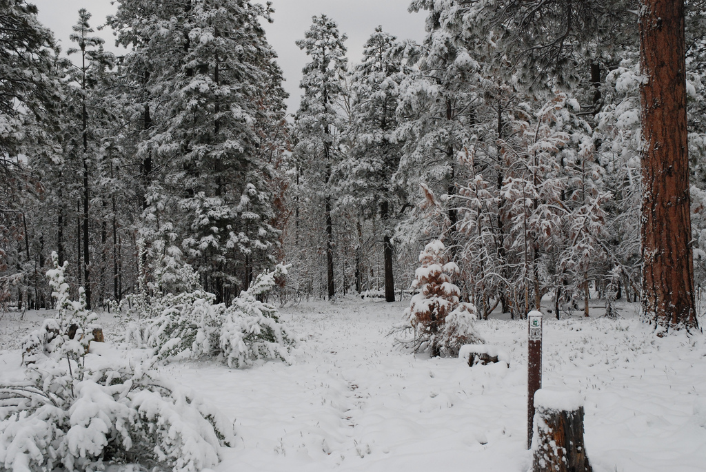
Grand Canyon National Park has confirmed that hikers are allowed to walk on the paved road to avoid the snowy AZT during the spring season before the road opens, typically on May 15. Mountain bikers are not allowed to ride the road and must follow the trail. The Park reiterated that hikers walking the plowed and paved North Rim Road should be aware of vehicles and snowplows; this means no camping, campfires, or full spread meals in the middle of the road. Bicyclists are technically grouped in with motor vehicles so they are not allowed to use the paved/plowed road and should stick to the AZT during early-season conditions.
Read More
Location
- Telephone Hill Trailhead to Orderville Trailhead
Length
- 16.7 miles
Southern Access Point: Telephone Hill Trailhead
- GPS Coordinates: 36.55147° N, 112.17560° W
Access
About 13.5 miles south of Jacob Lake on AZ 67, look for a sign pointing to FR 429 on the west side. Do not turn right onto FR 429, but instead turn left (east) onto FR 241. In 0.1 miles, the AZT crosses the road, but there is no parking here. Continue another 0.1 miles to a little campsite on the left, where you may be able to park.
Northern Trailhead: Orderville Trailhead
- GPS Coordinates: 36.73646° N, 112.18889° W
Access
From Jacob Lake, head east on US 89A for 2.2 miles, then turn right (south) on FR 205. The trailhead is on the left.
Trail Route Description
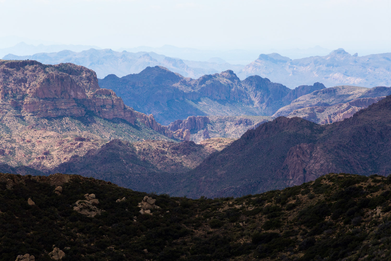
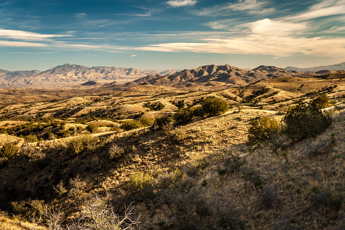
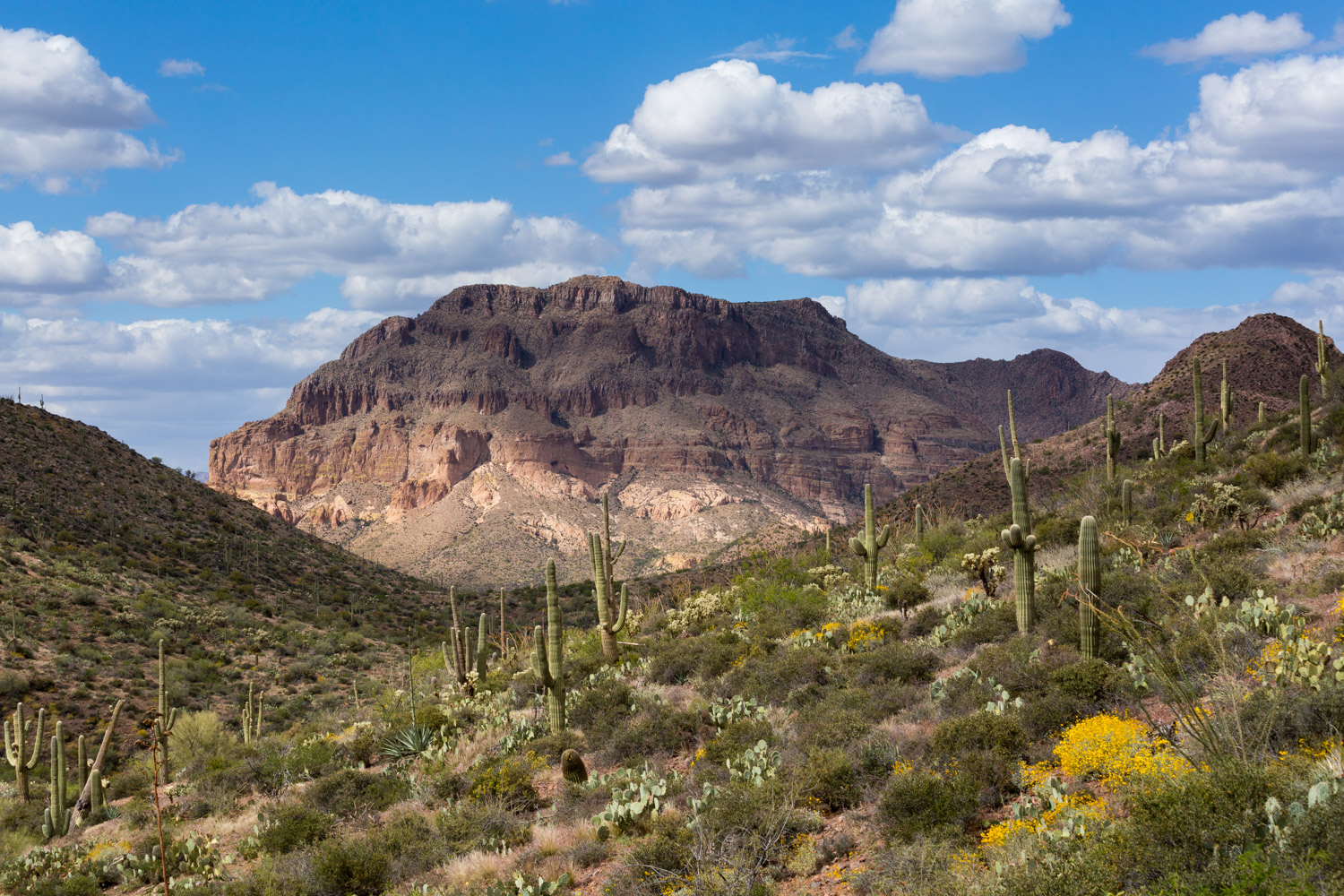
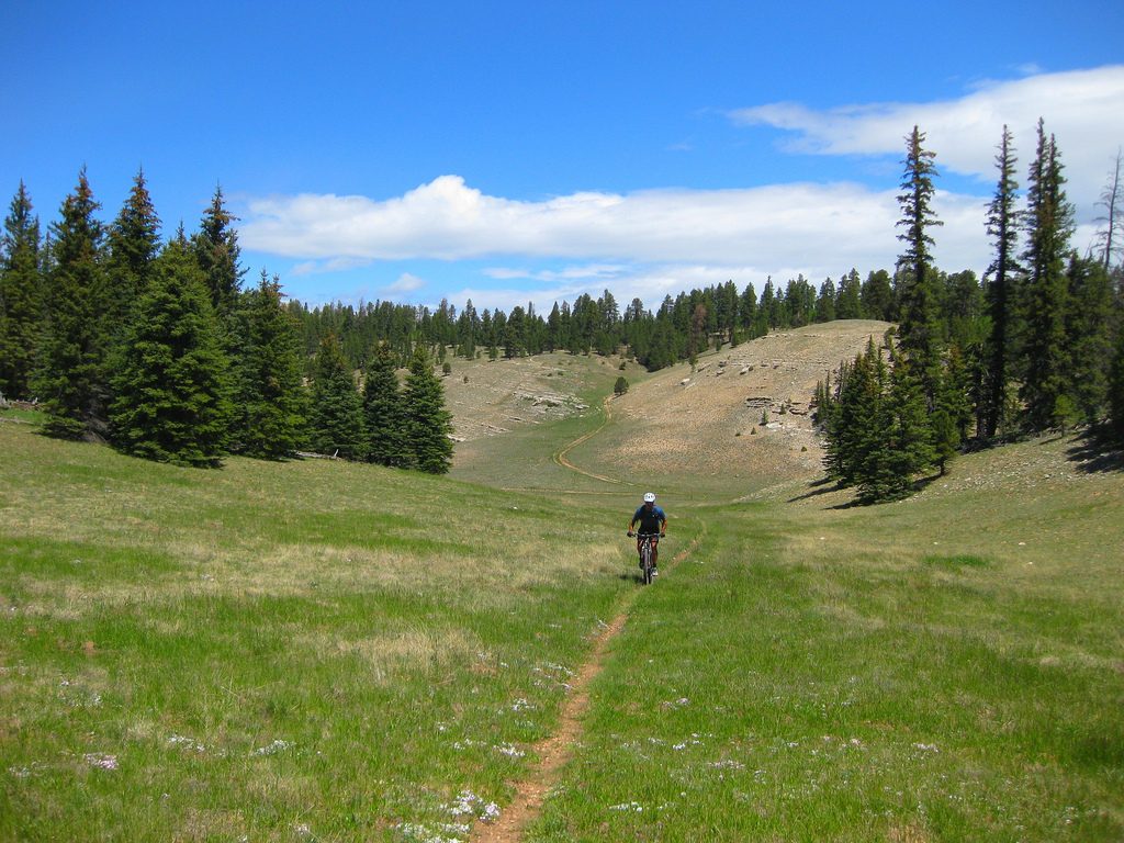
Passage 41 continues north along the Kaibab Plateau. The route follows singletrack through gentle terrain that snakes around hillsides, dips in and out of forested areas, and features scenic views to the east.
The first half of this passage crosses an area that was badly burned by the 2006 Warm Fire. The fire was devastating to the ponderosa pine forest, but new growth of aspen trees and many species of grasses, shrubs, and flowers show signs of the natural restoration process.
Overall, the landscape is dry with little to no free-flowing water; the best resource is a cement trough six miles into the section that has seasonal/probable water.
Beyond the burn area, the route gradually descends through stands of ponderosa pine while crossing dirt roads and rolling over pleasant forested terrain. The miles fly by throughout this relatively flat stretch of trail. The majority of the downhill terrain comes within the last five miles of this section where the trail descends nearly 1,000 feet.
Difficulty
- Easy to Moderate
Season(s)
- Spring, Summer and Fall
- Current weather forecast
Water
There is a good water source about six miles into the passage otherwise water sources are scarce and unreliable. Check the online Arizona Trail Water Report for current information at https://aztrail.org/explore/water-sources/.
Notes/Warnings
- All water along this passage should be purified prior to use.
- The Arizona Trail is marked with brown fiberglass posts with a Kaibab Plateau Trail decal near the top.
- When the AZT is buried under snow in the springtime, hikers are allowed to walk on Hwy 67 before the road opens, typically on May 15. Mountain bikers are not allowed to ride the road and must follow the trail. Hikers walking the plowed and paved road should be aware of vehicles and snowplows; this means no camping, campfires, or full spread meals in the middle of the road.
Resources
- Map of Passage 41
- USGS Topographic Maps: Telephone Hill and Jacob Lake.
- Kaibab National Forest map.
- BLM Information Center maps.
For more information
- The Passage Steward
- Kaibab National Forest, North Kaibab Ranger District, P.O. Box 248, Fredonia, AZ 86022 (928) 643-7298.
- Kaibab Plateau Visitor Center, Jacob Lake, AZ (928) 643-7298.
- BLM Information Center (602) 417-9300.
