 Location
- Lakes Road to Gabe Zimmerman Trailhead
Length
- 12.7 miles
Southern Access Point: Lakes Road
- GPS Coordinates: 31.90910° N, 110.67151° W
- NOTE: This trailhead is not directly accessible by vehicles. The trailhead is approximately 0.6 miles west of the access point (31.90857° N, 110.66196° W) along a two-track road.
Access
From the intersection of I-10 and AZ 83, drive south for 7.2 miles on AZ 83 to milepost 51.4. Turn right (west) and go through a gate on an unmarked, rough dirt road about 0.6 miles to the AZT. This road requires a 4WD high-clearance vehicle, or park near AZ 83 and walk in (recommended).
Northern Trailhead: Gabe Zimmerman Trailhead
- GPS Coordinates: 32.01362° N, 110.64730° W
Access
Take I-10 east and take Exit 279 (Wentworth Road/Colossal Cave Road). Turn east (left) for 0.2 mile to Frontage Road. Turn south (right) on Frontage Road for 5.2 miles to Gabe Zimmerman Trailhead.
Trail Route Description
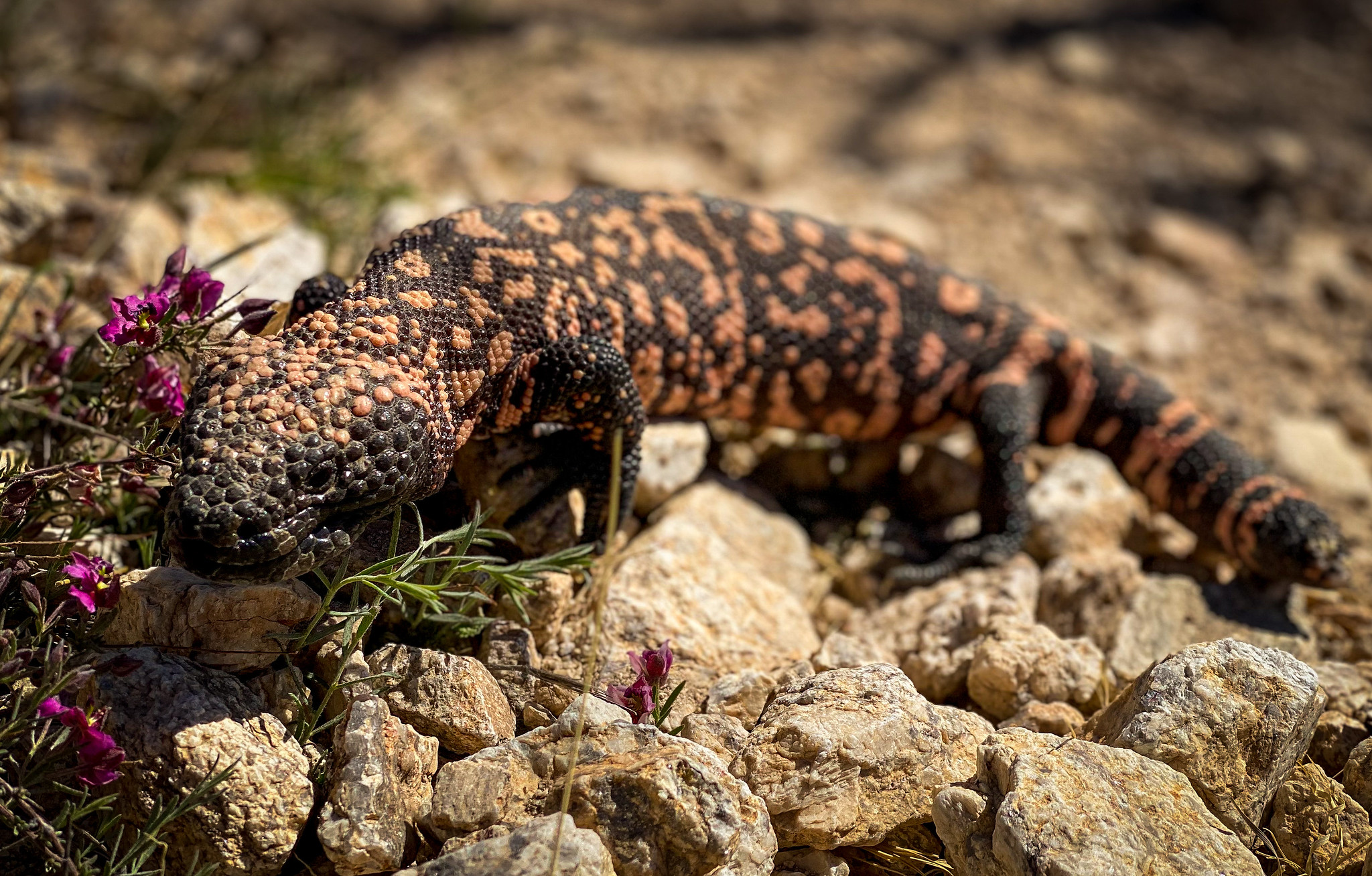
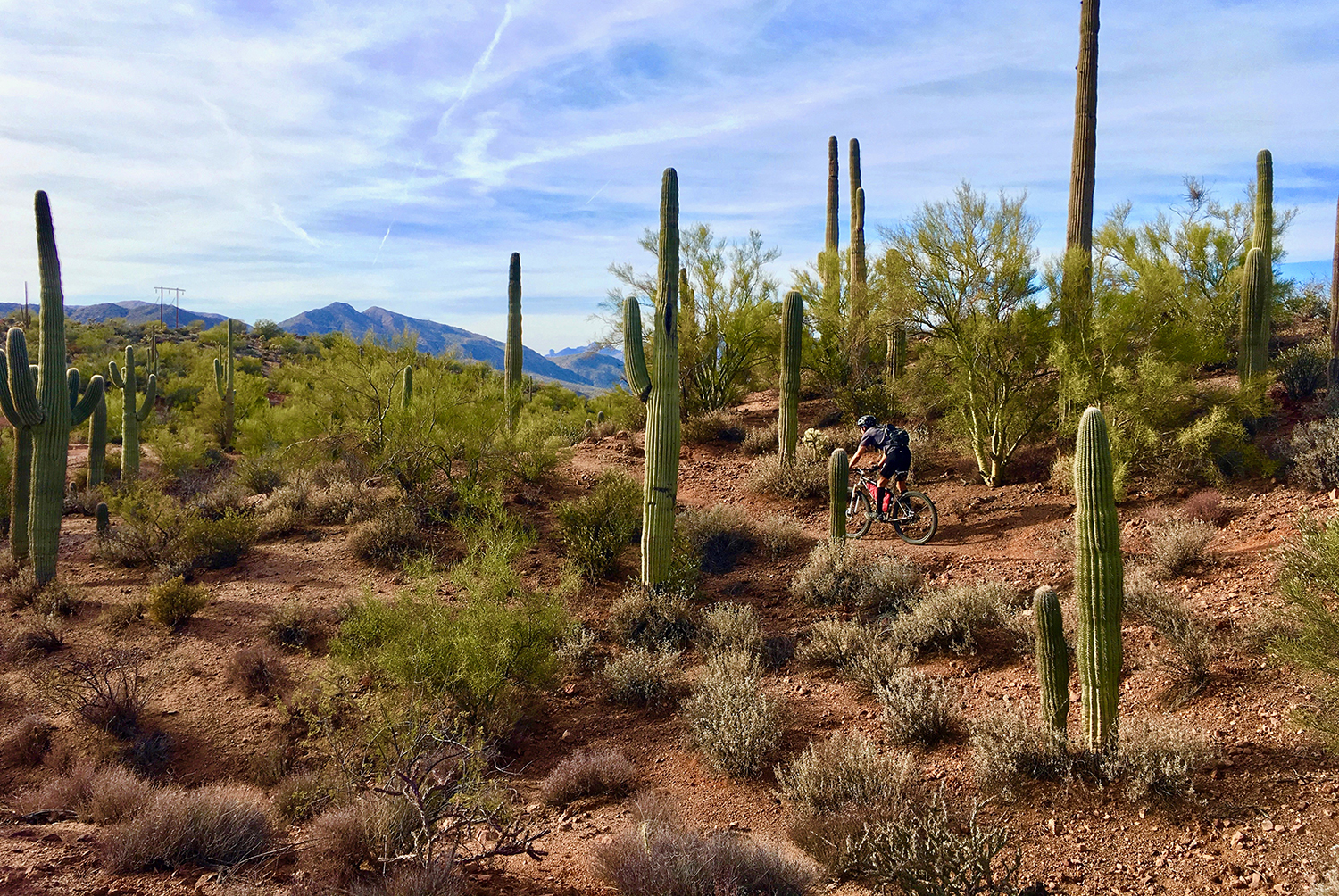
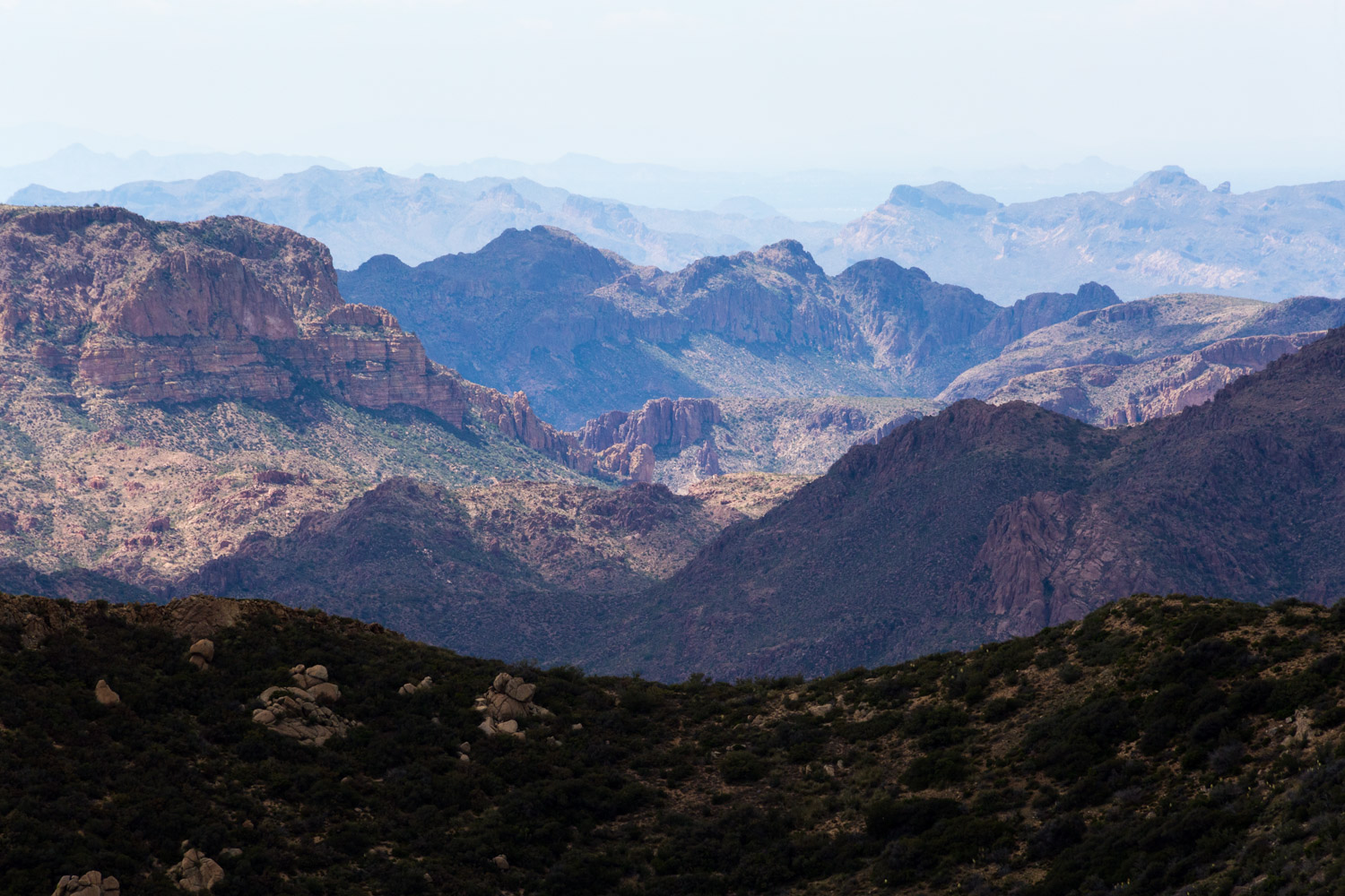
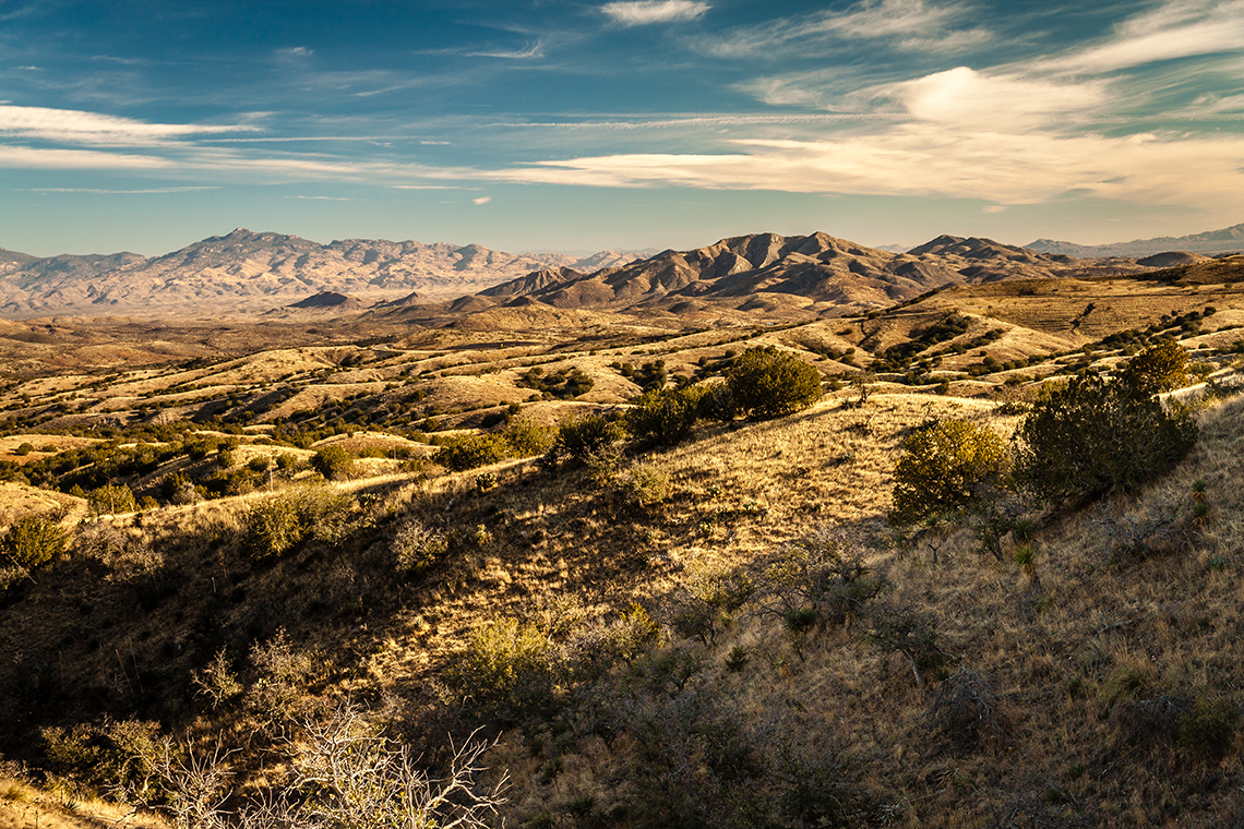
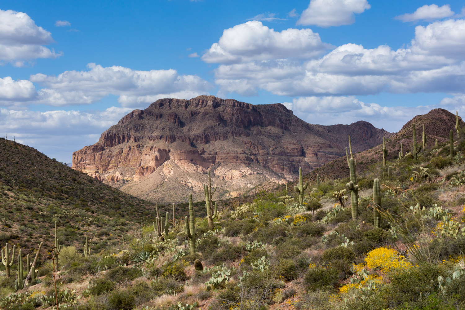
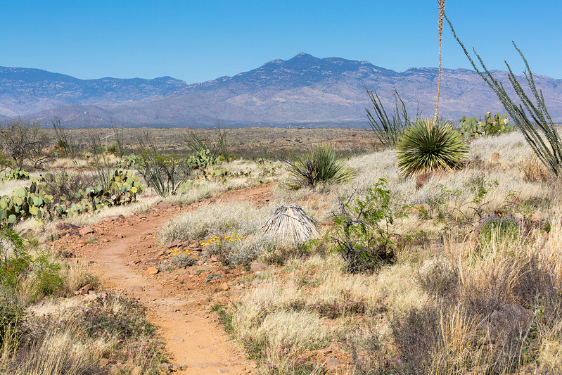
Passage 7 crosses the valley between the Santa Rita and Rincon Mountains. The trail follows a singletrack path that rolls up and down grassy hillsides through fields of ocotillo, prickly pear cactus and creosote bush, and features spectacular views of the Empire Mountains to the east.
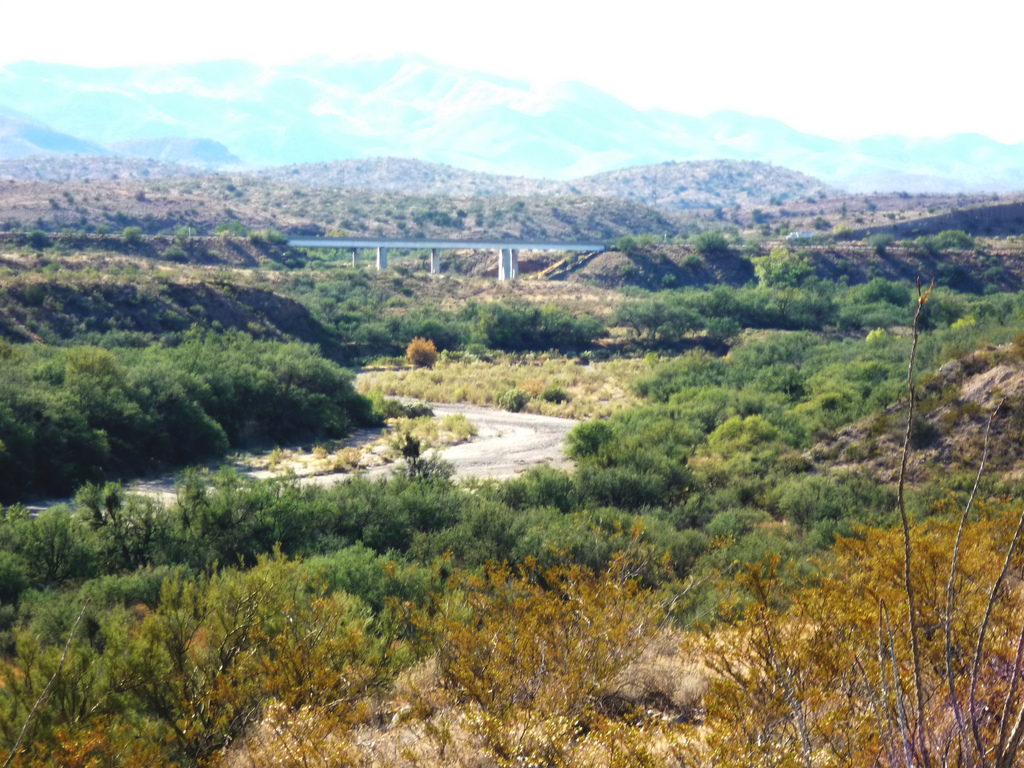
Mesquite trees, barrel cactus and cholla line the singletrack trail that dips in and out of sandy washes, crosses dirt and paved roads, and uses culverts to traverse underneath Highway 83 and Interstate 10. Overall, the terrain is fairly easy with only a few short climbs and a gentle descent to the north.
Difficulty
- Easy to Moderate
Season(s)
- Fall, Winter and Spring
- Current weather forecast
Water
Water is intermittent and scarce. Plan to bring your own water. Check the online Arizona Trail Water Report for current information at https://aztrail.org/explore/water-sources/.
Notes/Warnings
All water along this passage should be purified prior to use.
Resources
- Map of Passage 7
- USGS Topographic Maps: Mount Fagan and Vail.
- BLM Information Center maps.
For more information
- The Passage Steward
- Coronado National Forest, Nogales Ranger District, 303 Old Tucson Rd., Nogales, AZ 85621 (520) 281-2296
- BLM Information Center (602) 417-9300.
