


Chilson Spring and Hopi Spring were renovated in October 2018
Read More
Location
- Mt Peeley to Red Hills Trail junction
Length
- 24.1 miles
Southern Trailhead: Mt Peeley Trailhead
- GPS Coordinates: 34.00219° N, 111.47724° W
Access
Drive 4.8 miles north of Sunflower/Bushnell Tanks on AZ 87 to MP 222.8. Turn left (west) onto a paved road (FR 627) which is opposite the Mt. Ord turnoff. Follow FR 627 downhill for 1.2 miles and then turn right over a cattle guard onto FR 201. Drive 9.3 miles on FR 201 to the Mount Peeley TH where there is a small parking area. The sign here says Cornucopia Trail (#86) and indicates a 0.5-mile hike to the Mazatzal Divide Trail (#23) and the AZT.
Northern Access Point: Red Hills Trail Junction
- GPS Coordinates: 34.18046° N, 111.50359° W
- NOTE: There is no vehicle access to this wilderness trailhead. See adjoining passages for additional information.
Access
From Payson on AZ 87 drive west on Main Street. Stay on the main road past a golf course, where the pavement ends and the road becomes FR 406. About 10 miles from AZ 87, park at City Creek Trailhead on the east side of the road. Hike southwest up the Mazatzal Divide Trail #23 for approximately 5.75 miles to the junction of the Mazatzal Divide trail and the Red Hills Trail.
Trail Route Description
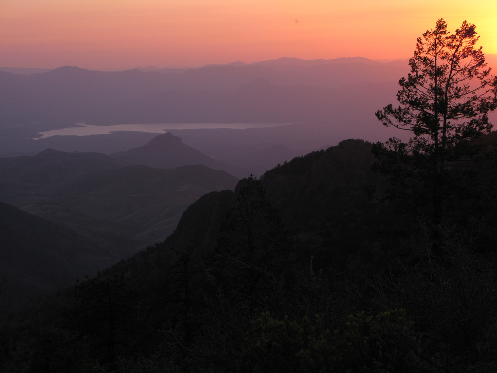
Passage 23 traverses just below the heights of the Mazatzal Mountains, with expansive views in the heart of a large wilderness area. The entire passage is spent walking the Mazatzal Divide Trail (#23), a well-built singletrack trail that runs north-south through the wilderness.
This section features the longest stretch through designated wilderness along the AZT. The Mazatzal Wilderness is also one of the oldest and largest wilderness areas in the state. Humans are infrequent visitors to these lonely ridges, and the land is much the same as it was hundreds of years ago when it was the domain of the Yavapai and Apache people.
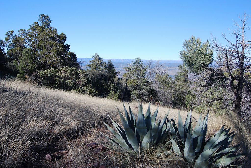
This section begins with a steep climb up a number of switchbacks along the east side of Mount Peeley. The trail works its way up and around the mountain and then follows a ridgeline with incredible views. The trail skirts deep canyons across steep slopes and passes through old growth ponderosa pine, alligator juniper, and scrub oak. There are multiple seeps and springs, as well as numerous campsites.
It passes under the steep, red-rock cliffs of Mazatzal Peak and climbs through thick manzanita. Past Hopi Spring, the trail reaches a rocky section and climbs to a high point with expansive views of the valleys to the west and the low country along the East Verde River to the north-northwest. On a clear day, you can see the snow-capped San Francisco Peaks over 75 miles to the north!
Difficulty
- Moderate
Season(s)
All year. Snow can be present at higher elevations after winter storms and lower elevations can be quite warm in summer
Water
Water can usually be found at Bear Spring, Chilson Spring, Horse Camp Seep and Hopi Spring. Check the online Arizona Trail Water Report for current information at https://aztrail.org/explore/water-sources/.
Notes/Warnings
- All water along this passage should be purified prior to use.
- Mountain bikes are prohibited in the Mazatzal Wilderness.
Resources
- Map of Passage 23
- USGS Topographic Maps: Mazatzal Peak and North Peak.
- Tonto National Forest map.
- BLM Information Center maps.
For more information
- The Passage Steward
- Tonto National Forest, Payson Ranger District, 1009 E. Highway 260 Payson, AZ 85541 (928) 474-7900.
- BLM Information Center (602) 417-9300.
